

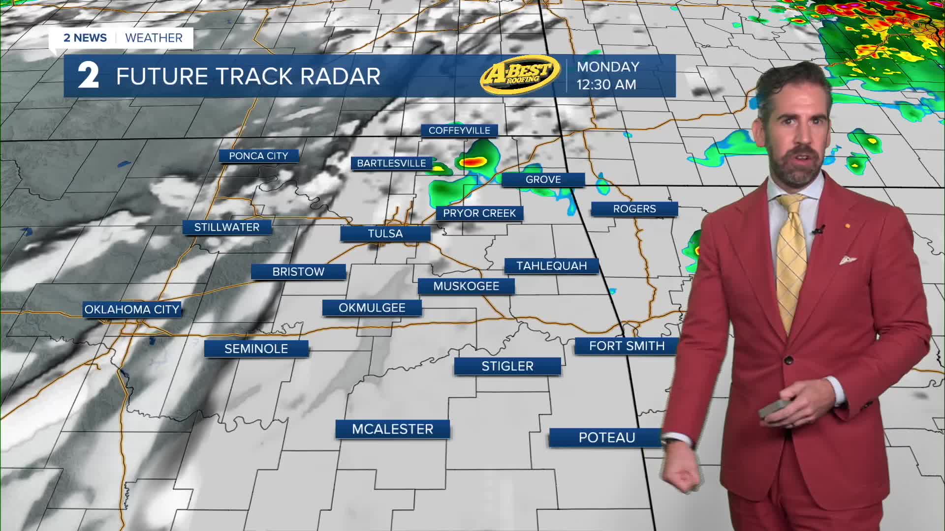


A cold front is bringing a continued chance for showers and storms through Sunday evening. A few storms may be severe with locally damaging wind gusts as the main threat. Rain chances drop off overnight with some clearing. Temperatures will dip into the upper 60s by Monday morning.
A round of showers and storms cannot be ruled out on Monday with the chance mainly confined to south of Tulsa. Expect a partly sunny day otherwise with near-average temperatures and a refreshing northerly breeze at about 10-15 mph.
As we move into midweek, the much milder air sticks around with some passing clouds at times. Morning lows will dip into the lower 60s with daytime highs in the lower to mid-80s. These seasonable temperatures are with us all week with little chance of rain until the week's end.
A more active storm track shifts over Oklahoma by next weekend, enhancing the chance for a round or two of rain. Temperatures will remain near average into this window of time as well with highs staying in the 80s.
 Facebook
  TikTok
  YouTube
 Instagram
 Threads
 X
X