

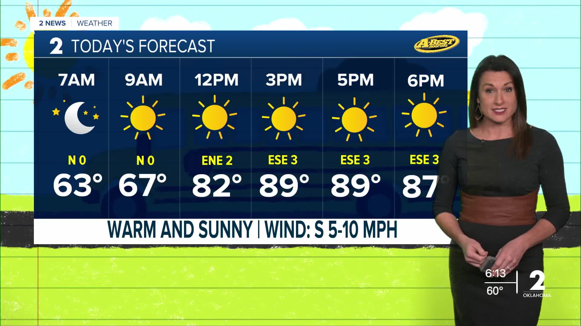


TULSA, OKLA — A weak boundary will move into northeast Oklahoma early this morning. With light winds and mostly clear skies, patchy fog could develop, especially in areas where moisture is a little higher. Any reduced visibility should improve quickly after sunrise.
It will be another very warm day, with afternoon temperatures climbing into the upper 80s to near 90 degrees under mostly sunny skies.
High pressure will remain in control through the end of the workweek, keeping skies mostly clear and rain chances near zero. Southerly winds will increase this weekend, bringing even warmer temperatures and breezier conditions.
Highs Friday through Saturday around 90 degrees then peaking in the lower 90s by Sunday.
The combination of warm temperatures, dry conditions and stronger winds could create locally elevated fire weather concerns, particularly across parts of northeast Oklahoma where vegetation remains dry.
A tropical system moving north and east this weekend is expected to stay well east of the area, although parts of northwest Arkansas could see a few additional clouds and breezy conditions Saturday. No significant local impacts are expected.
Looking ahead to next week, the pattern stays warm, windy and dry through at least early next week. By the middle of next week, a stronger system and approaching cold front could bring our next opportunity for showers and thunderstorms, along with a more significant cool-down. Forecast details will become clearer as the system gets closer.
 Facebook
  TikTok
  YouTube
 Instagram
 Threads
 X
X