

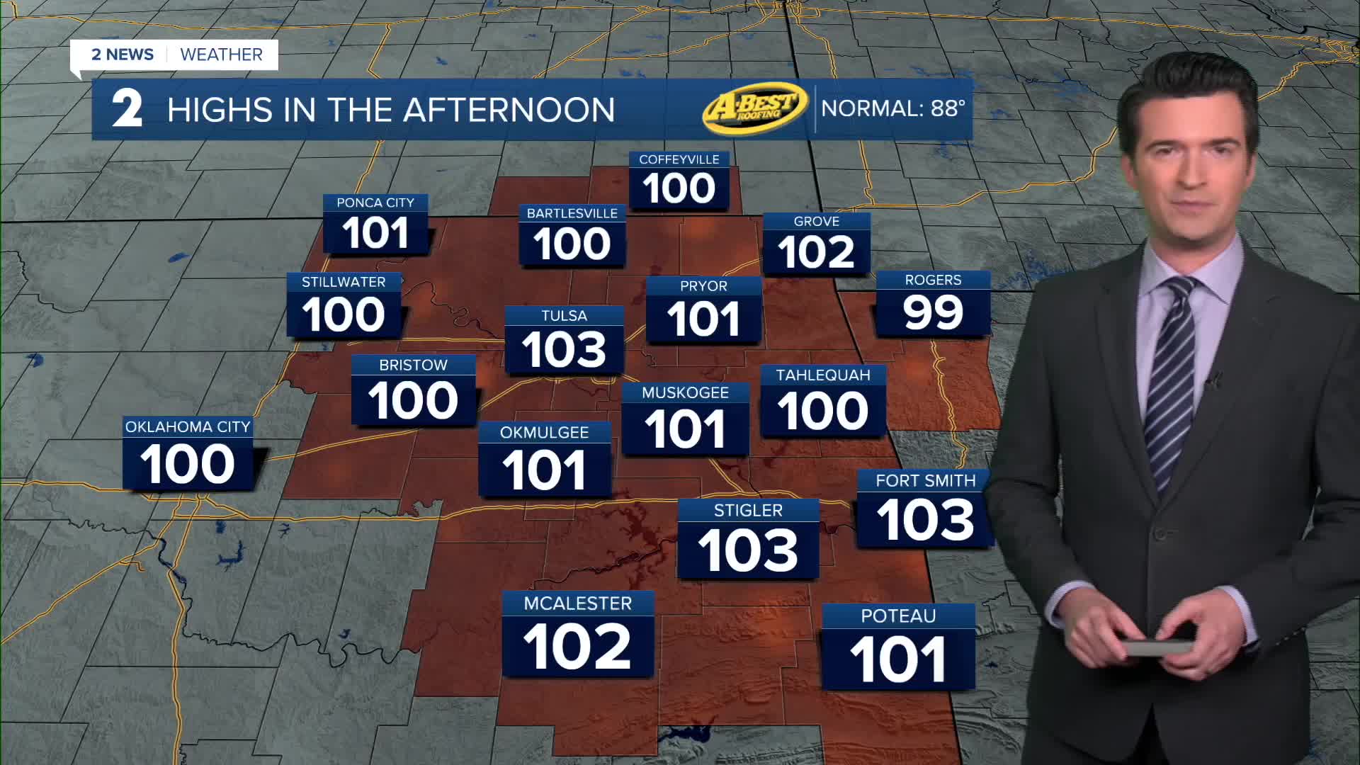


TULSA, OKLA. — ***Another Heat Advisory Noon to 7pm across the forecast area. Afternoon heat indices 105°-109°***
Overnight, mostly clear skies with the low in Tulsa down to 77°. ESE winds 5-10 mph.
For Labor Day Monday, mostly sunny skies. Slight chance for an afternoon to early evening shower or storm. The high up to 103°. The record for the date is 106° from 1936. Max heat index 108°. South winds 5-15 mph.
On Tuesday, mostly sunny skies. Lows in the upper 70s with highs around 103° again. The record for the date is 103° from 1925, so we could tie. South winds 10-20 mph. Max heat index up to 108°.
Wednesday brings us more of the same. Lows around 80° with the high up to 104°. The record for the date is 102° from 1909, so we could easily break it. Max heat index up to 109°. Mostly sunny skies to start, then increasing clouds the second part of the day. Chance for some scattered showers and storms developing later in the day and at night/overnight as a cool front approaches the area. South winds 10-20 mph.
Those scattered showers look to be around Thursday morning along with mostly cloudy skies. Lows in the low 70s with highs in the low 90s. NE winds 5-15 mph. Max heat index in the upper 90s.
For Friday, back to mostly sunny skies, but still a chance for a few showers and t-storms. Lows in the low 70s with highs in the mid 90s. South winds 5-15 mph. Max heat index up to 102°.
Over the weekend, lows in the low 70s with highs in the 90s. Mostly sunny to partly cloudy skies with the chance for a few showers and storms in Green Country.
Have a great week ahead and try to stay cool!
 Facebook
 TikTok
 YouTube
 Instagram
 Threads
 X
