



TULSA, OKLA. — **HEAT ADVISORY FOR NEARLY ALL OF GREEN COUNTRY FROM NOON TO 7 PM TUESDAY**
Mostly clear and warm tonight with temperatures dipping only into the upper 70s by Wednesday morning.
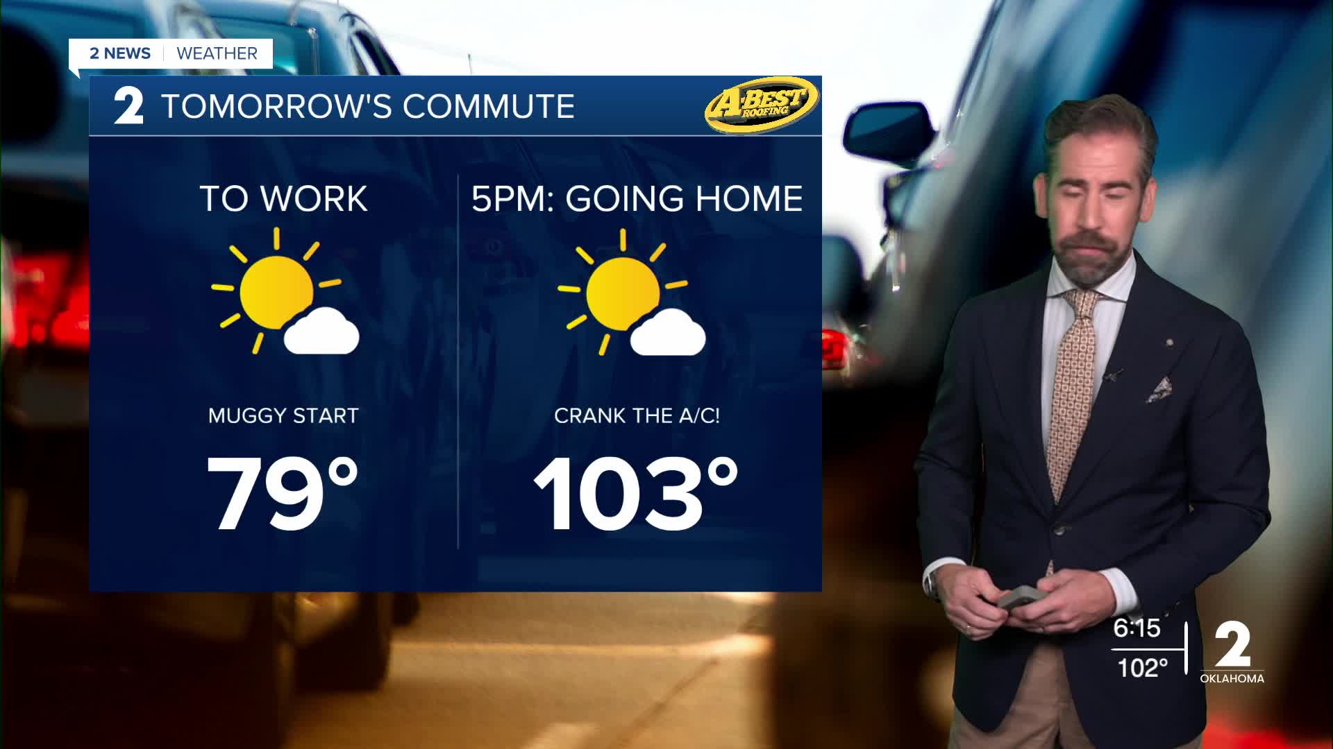
Tuesday will be unseasonably toasty with temperatures soaring to near record levels by afternoon. Expect highs all across Green Country to top 100° with a feel-like temperature running at 105° or hotter for much of the afternoon and early evening. The unseasonable heat will come with a moderate south breeze. A few pop-up showers and storms may form in far eastern and southeast Oklahoma.
Wednesday will start off around 80° and then rise up to a record 104° in the afternoon with breezy conditions. Expect ample sunshine that may give way to a round of rain and t-storms late in the day and more likely Wednesday night. The incoming cold front will bring Green Country a potential for widespread, soaking rainfall, which will taper off Thursday morning.
In the wake of the front, temperatures will fall back close to average with highs on Thursday only in the upper 80s thanks to lingering cloud cover and a northerly breeze.
Off-and-on rain chances continue late this week and into the weekend. Expect muggy conditions and temperatures rising back into the 90s for highs with a feel-like temperature closer to the century mark.
Another cold front is expected to arrive next week with another shot of cooler, more seasonable air.
Until we see a meaningful cool-down, be sure to continue taking heat precautions each day when spending time outdoors.
 Facebook
  TikTok
  YouTube
 Instagram
 Threads
 X
X