

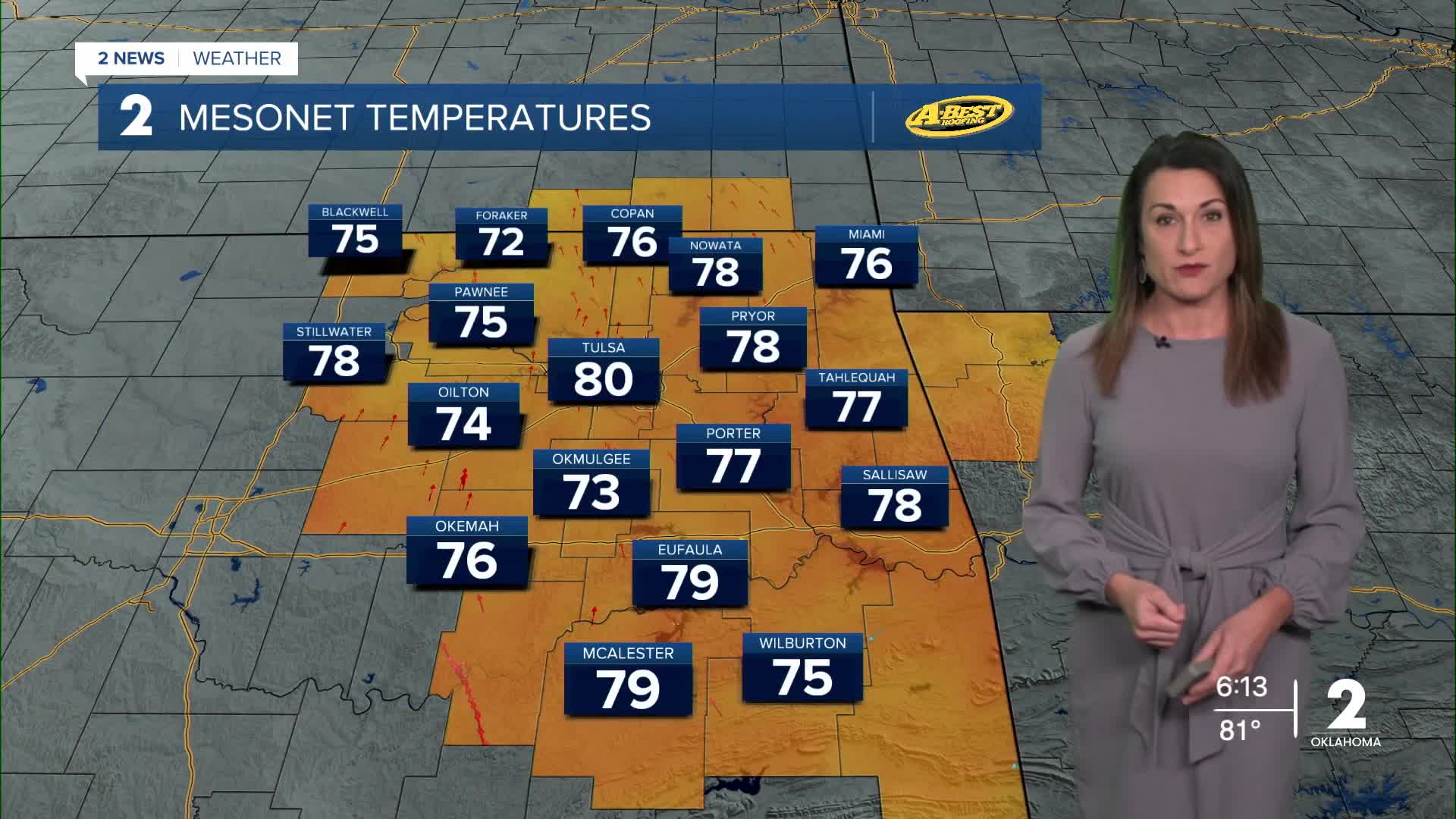


TULSA, OKLA — **HEAT ADVISORY FOR MUCH OF EASTERN OKLAHOMA FROM NOON UNTIL 7 THIS EVENING. HEAT INDEX UP TO 109 DEGREES.**
After several rounds of rain across parts of the region, the upcoming week will turn much hotter and mostly dry. While the recent rainfall is helpful, much more rain will be needed to make a significant dent in ongoing drought conditions. Stronger winds at times will also keep fire weather concerns elevated.
Heat builds through the week
A large area of high pressure will remain in control of our weather, leading to several more days of summer-like heat.
Monday: Mostly sunny with a high near 97° in Tulsa. South winds will increase to 10–15 mph, with gusts up to 25 mph. The heat index could reach 105°, especially across parts of eastern Oklahoma and western Arkansas.
Tuesday: Another mostly sunny and hot day with highs in the upper 90s and heat indices up to 106°. South winds will remain at 10–15 mph. A few showers and thunderstorms could develop Tuesday night, mainly north of Tulsa and into southeast Kansas. Some storms could become strong to severe, with damaging winds and large hail the primary threats, especially across Kansas.
Wednesday: Mostly sunny with highs again in the upper 90s. The heat index could reach 103°, with south winds of 10–15 mph.
Thursday: Mostly sunny and still hot, with highs in the mid-90s and heat indices up to 101°. South winds will be 5–15 mph.
Friday: Partly cloudy with highs in the mid-90s and a heat index near 98°. South winds will be 10–15 mph.
Storm chances increase this weekend
The pattern may finally begin to change over the weekend as a front attempts to move into Green Country.
Saturday will remain warm, with highs in the low 90s, but shower and thunderstorm chances will increase. By Sunday, temperatures should cool into the mid-80s, with a better chance for showers and storms.
Forecast models are still showing considerable uncertainty regarding exactly when the front will arrive and how much rain it will bring. For now, the weekend offers our best opportunity for more widespread rainfall and some relief from the heat.
For much of the week, though, the main weather story will be well-above-normal temperatures and potentially dangerous heat. Additional heat advisories or other heat headlines will likely be needed as the week progresses.
Stay weather-aware, stay hydrated and continue to use caution with outdoor activities during the hottest parts of the day.
 Facebook
  TikTok
  YouTube
 Instagram
 Threads
 X
X