

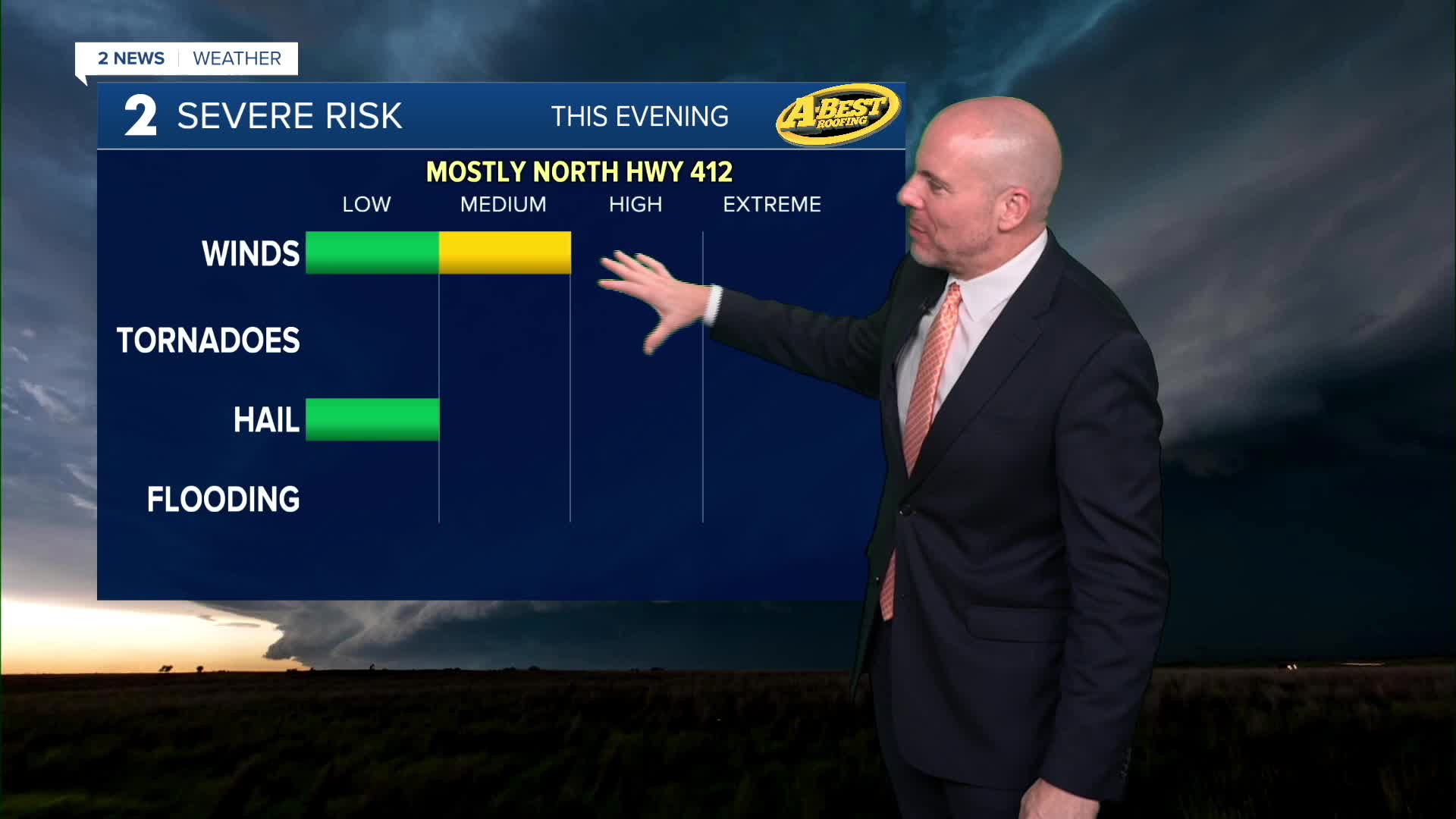


TULSA, OKLA — A cold front is moving south into Oklahoma tonight, bringing increasing chances for showers and thunderstorms tonight and into Thursday. Rain chances begin along the Oklahoma/Kansas line this evening with showers and storms sinking southward overnight. While widespread severe weather is not expected, a few storms could produce strong to locally damaging wind gusts.
Into Thursday morning, showers and storms are likely in northeast Oklahoma with locally heavy rainfall. Temperatures will drop into the 70s for lows with gusty winds at times. Showers and storms will continue to expand southward throughout the day with a limited threat of severe wind gusts. Rain will gradually taper off from north to south during the day Thursday with lingering cloud cover. The combination of cloud cover, wet conditions and a northerly breeze will keep daytime highs in the 80s for most locations, especially north of I-40.
Southerly winds return Friday bringing back more heat and humidity. Highs will be in the 90s with a slight chance for showers and storms, mainly in southeast Oklahoma.
Another round of rain and storms is possible Saturday, especially north of Tulsa. Otherwise, expect a partly sunny, hot and humid weekend. Highs will stay in the 90s with a heat index topping the century mark in the afternoon.
Additional storm systems could affect the region early next week, keeping periodic rain chances in the forecast.
While temperatures are expected to remain above average into next week, the extended stretch of 100° temperatures will be over after today. Forecast highs are generally expected to remain in the 90s, though temperatures could vary significantly depending on where fronts and rainfall set up next week.
 Facebook
  TikTok
  YouTube
 Instagram
 Threads
 X
X