



Since it's already the middle part of September, we wanted to take a look at temperatures and precipitation. In terms of temperatures in Tulsa, they've all been above average with regard to lows and highs.
For lows, we have had four record high minimum temperatures at the Tulsa Int'l Airport. Our warmest low was 83°, which was the warmest September low ever on record in Tulsa.
For highs, we've had eight days of triple digits, and on two of those days, we tied or broke the record high at the Tulsa Int'l Airport with 103°. The highest temperature so far in Tulsa this month has been 105°, which didn't meet or exceed a previous record. The 103° on September 9th beat the record from 1909!
As of now, this is the second-hottest September on record, with an average temperature (calculating lows and highs) of 88.1°. First place is 1936, with an average of 88.5°.
The 8–14 day temperature outlook from the Climate Prediction Center calls for temperatures to be around average or just above for the date range of the 21st through the 27th.
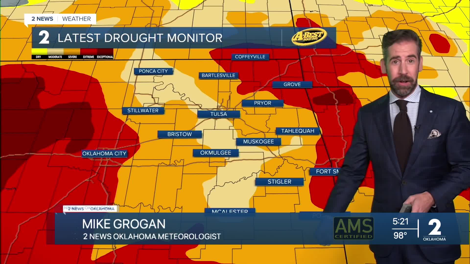
The worsening drought this month goes hand-in-hand with the unseasonably hot temperatures as well. Searing heat beneath a very stubborn high-pressure ridge (often called the Heat Dome) has efficiently dried out our land, vegetation and waterways. This ridge in the jet stream steers storm systems around our region, blocking potential rainfall and cold fronts from readily reaching us.
That ridge broke down enough late last week into the weekend to allow a few waves of energy to arrive and generate showers and storms for Green Country. While amounts of rainfall varied greatly, many locations received a healthy soaking. As of Monday, Tulsa has recorded over an inch of rain, but is officially 0.67" of rainfall below average for the month so far. Many lakes are running close to average and up to several feet below average in Green Country even after following a very wet start to summer.
The weather pattern remains very summer-like for eastern Oklahoma over the next week with little rainfall and near-record heat. There to follow, the pattern supports a more active storm track over Oklahoma with the sweltering heat settling back to a simmer. As fall begins next Monday, we should see a trend toward consistently cooler and occasionally wetter stretches of weather. To see the latest forecast by the KJRH Weather Team, click here.
 Facebook
  TikTok
  YouTube
 Instagram
 Threads
 X
X