

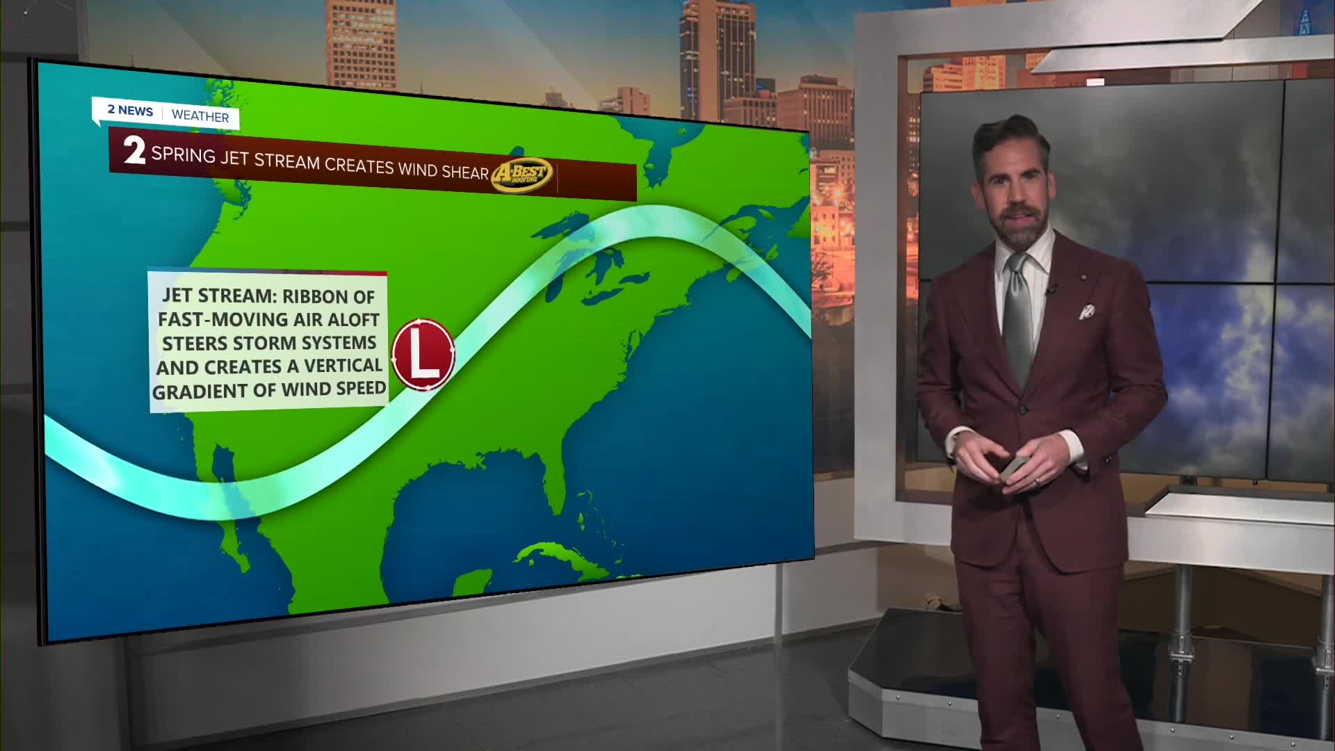


Late May is known for major severe weather outbreaks around Oklahoma. However, the unsettled weather ongoing now is missing a key ingredient: sufficient wind shear.
Wind shear is the difference in wind speed and direction from the surface up into the atmosphere. When wind shear is present, it can cause a storm to become better organized, separating its updraft and downdraft.
WATCH: Here's why the Severe Weather threat is low with our peak season stormy spell
When this happens, a storm can keep a continuous flow of warm and moist air into the storm, allowing it to strengthen unabated. This type of storm is called a supercell and tends to generate the largest hail and the strongest tornadoes in addition to high winds.
Lacking wind shear, the storms at hand will be less organized, with the downdraft overtaking the updraft, thanks to weak winds aloft, which will limit the intensity overall.
These "garden variety" thunderstorms are more common in the summer months when the jet stream lifts north of our region, and wind shear drops off as a result. Since this has happened earlier than normal, we are left with a summer-like storm setup.
These storms still pose a risk for locally damaging wind gusts and flooding concerns. However, higher-end severe weather is less likely. For the latest on our risk of t-storms across Green Country, click here.
Stay in touch with us anytime, anywhere --
- 2 News Oklahoma on your schedule | Download on your TV, watch for free. How to watch on your streaming device
- Download our free app for Apple, Android and Kindle devices.
- Like us on Facebook
- Follow us on Instagram
- Watch LIVE 24/7 on YouTube
