

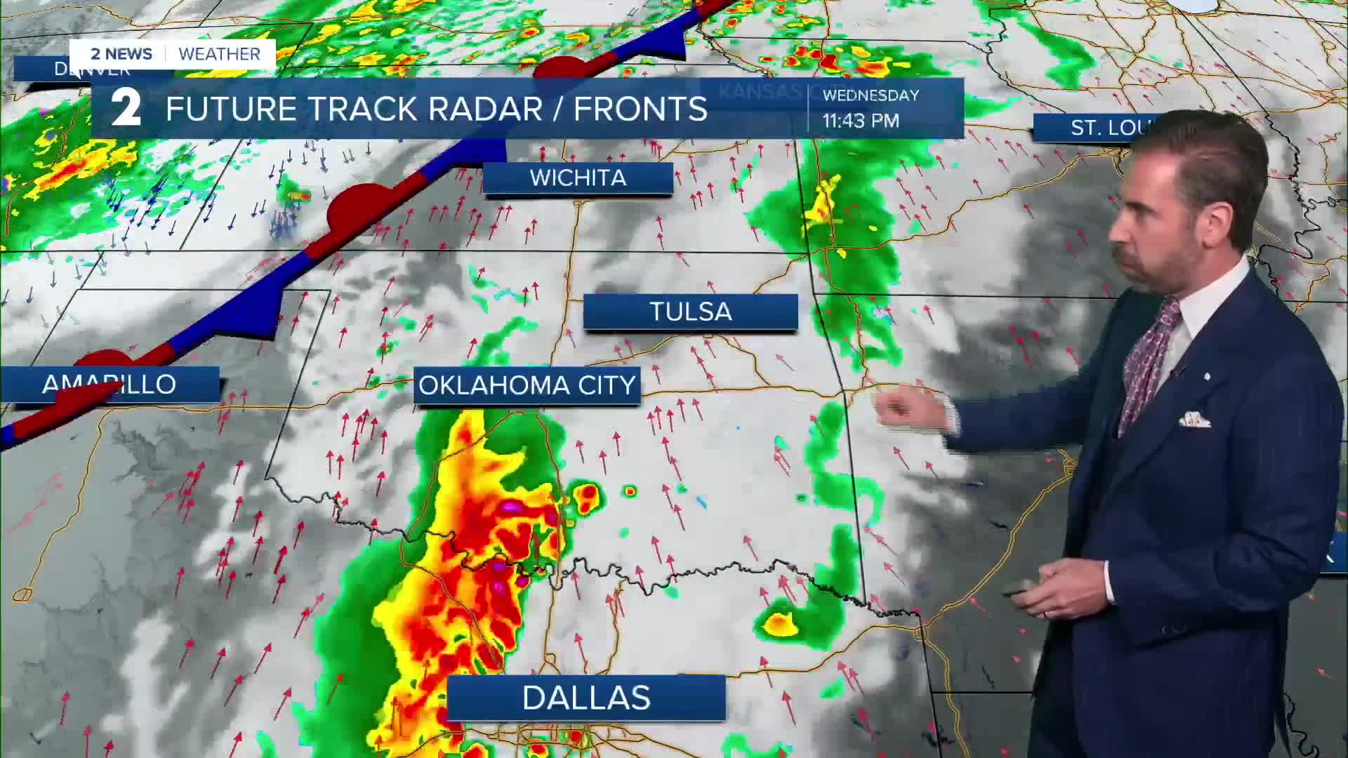


TULSA, OKLA. — Mostly cloudy and mild conditions are with us tonight and into our Wednesday with a stray shower or two possible. Temperatures will only drop into the lower to mid-70s by dawn.
Much of the day Wednesday will be mostly cloudy, warm and windy with rain on hold until late in the day. Highs will be in the upper 80s with south winds gusting between 20 and 30 mph.
Heavy rain and storms approach Green Country by evening with a limited threat of severe weather. Locally damaging wind gusts are possible with a very low-end risk of a brief tornado. A deep supply of moisture from the Tropics will increase the concern of flash flooding Wednesday night into Thursday with rainfall rates of 1" to 2" per hour possible in the strongest storms.
The flooding and limited severe storm threat continues Thursday with cloud cover and temperatures in the 70s. This day brings us our best chance of widespread rainfall. The cold front will approach Thursday night and push through eastern Oklahoma into Friday. Showers remain likely into Friday as a brisk northerly breeze takes hold. By the time rain ends at the start of the weekend, widespread 1" to 4" rain totals are likely. A few spots may receive even more rainfall than that.
Fall-like temperatures arrive at the end of the week behind the front. Temperatures on Friday may only reach the lower 70s for daytime highs.
Slowly clearing skies are expected by the weekend with cool nights and mild days expected. This trend of dry, pleasant weather continues through next week as well. The Tulsa State Fair may start off with wet and stormy conditions. However, the outlook for the rest of the fair looks fantastic for time outdoors.
 Facebook
 TikTok
 YouTube
 Instagram
 Threads
 X
