

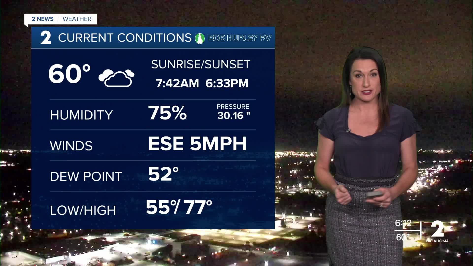


TULSA, OKLA — Tuesday will bring a slight chance of showers, mainly across areas along and west of Highway 75 during the morning. However, dry air near the ground will limit rainfall, and much of what shows up on radar may not reach the surface. A few sprinkles could linger into the afternoon.
Cloud cover may keep temperatures a few degrees cooler, but highs will still reach the mid to upper 70s.
Skies will clear out through the middle of the week, allowing temperatures to climb into the lower 80s Wednesday and Thursday. Morning lows will remain in the 50s.
Dry conditions, warm temperatures and increasing winds could lead to some fire weather concerns Wednesday afternoon. However, conditions are expected to remain well below critical levels.
The weather pattern is expected to become more active late in the week as additional moisture moves into the region. Forecast confidence remains somewhat limited regarding the timing and strength of the systems, but rain chances are increasing for late Friday into Saturday.
Friday will be mostly cloudy, with highs in the mid-70s and a better chance of showers.
For Halloween on Saturday, rain chances will continue across parts of Green Country. Temperatures should remain relatively mild, with afternoon highs in the 70s and evening temperatures in the 60s. While a few thunderstorms could develop over the weekend, the exact timing and coverage of rain remain uncertain.
At this time, a significant cold front is not expected to bring a major cool-down for Halloween. However, another weather system could move through Sunday night into Monday, potentially bringing additional showers and thunderstorms before cooler air returns temperatures closer to seasonal averages.
Don’t forget to set your clocks back!
Daylight saving time ends Sunday, November 1. Remember to turn your clocks back one hour Saturday night, giving you an extra hour of sleep.
In Tulsa, sunrise Sunday is expected around 6:46 a.m., with sunset at 5:27 p.m.
 Facebook
 TikTok
 YouTube
 Instagram
 Threads
 X
