

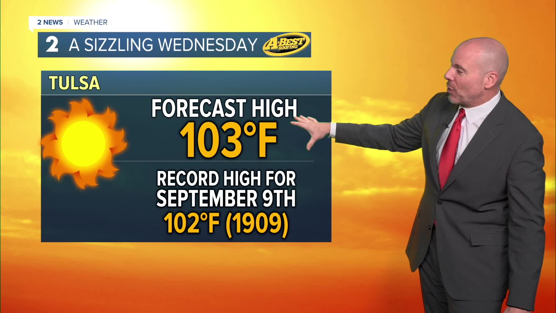



TULSA, OKLA — **EXTREME HEAT WARNING FOR TULSA, ROGERS, MAYES, WAGONER, OKMULGEE, MUSKOGEE, MCINTOSH, LATIMER & SEQUOYAH COUNTIES FROM NOON TO 8 PM WEDNESDAY.**
**HEAT ADVISORY FOR THE REST OF GREEN COUNTRY AND SE KANSAS UNTIL 8 PM**
Record-breaking and dangerous heat is with us today as highs go above the century mark area-wide. Heat index values will range from 105° and 112° this afternoon and early evening. Expect a moderate southerly breeze, mostly clear skies and a few pop-up showers in far eastern and southeastern Oklahoma.
After only cooling to around 80° overnight, Wednesday will bring more record heat. Highs will top 100° again with a heat index similar to Tuesday's readings. The day will be mostly sunny and breezy.
A cold front will arrive late Wednesday bringing a chance for showers and t-storms near the Oklahoma/Kansas border. A storm or two may be severe with locally damaging wind gusts. Rain chances increase that night into Thursday morning as the cold front slides slowly southward. This will provide a much-needed soaking for many locations in northeast Oklahoma.
Lingering cloud cover and rain chances will keep temperatures much cooler on Thursday with highs in the mid/upper 80s with a light northeast breeze. Those of you south will have a better chance of seeing highs in the 90s.
The heat builds back a bit late this week and weekend as southerly winds return. Expect highs in the 90s with a heat index closer to 100°. In this window of time, another round or two of rain and thunderstorms is forecast for at least parts of the area.
Temperatures will likely remain above average much of next week.
 Facebook
  TikTok
  YouTube
 Instagram
 Threads
 X
X