



TULSA, OKLA — Heat relief is just around the corner, but the potential for record high temperatures sticks around through Saturday.
Mostly clear skies prevail tonight with temperatures dipping through the 90s in the early evening, 80s overnight, and dropping into the upper 70s toward dawn.
On Saturday, stronger south winds take hold enhancing fire danger for the day as temperatures soar towards 100° again. Gusts to 25 mph are possible. Please avoid outdoor burning or anything that can cause a wayward spark. Drought conditions with dormant vegetation also are elevating the fire danger further. Skies will be mostly sunny during the day.
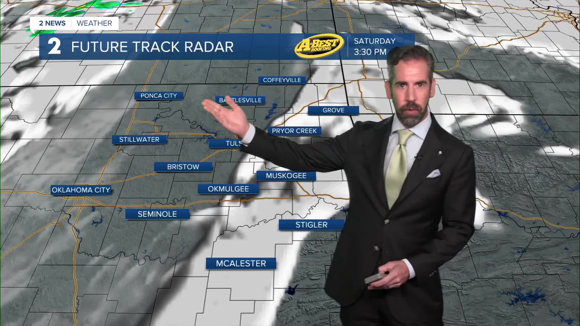
The long-awaited cold front will approach Saturday night into Sunday. Showers and storms are possible northwest of I-44 on Saturday night with a limited threat for locally damaging wind gusts. Otherwise, the bulk of the rain and storm activity holds off until Sunday.
Morning showers and storms are possible, but most likely late Sunday afternoon and evening when the cold front pushes through Green Country. A few storms may have locally damaging wind gusts and some hail along with heavy rainfall. Temperatures will remain very warm, but cloud cover will limit highs to around 90°.
By Monday, the cooler air fully arrives with a northerly breeze, some cloud cover and lingering showers, mainly in the morning. This sets the stage for near-average temperatures sticking around for next week as the heat ridge breaks down. Expect highs in the lower to mid-80s and lows in the 60s with only a limited chance of showers returning late in the week.
 Facebook
 TikTok
 YouTube
 Instagram
 Threads
 X
