


TULSA, Okla. — Since mid-summer, Oklahoma has quickly fallen into drought. The Drought Monitor, released each Thursday by the scientists with the University of Nebraska at Lincoln, shows improvement for much of the state thanks to last week's rainfall. However, all of Green Country remains in at least some category of drought.
The most extreme drought is found in far eastern Oklahoma where the worst category has been placed over parts of Sequoyah and LeFlore counties. These areas and southward from there did not pick up the same amounts of rain as much of the rest of the state did.
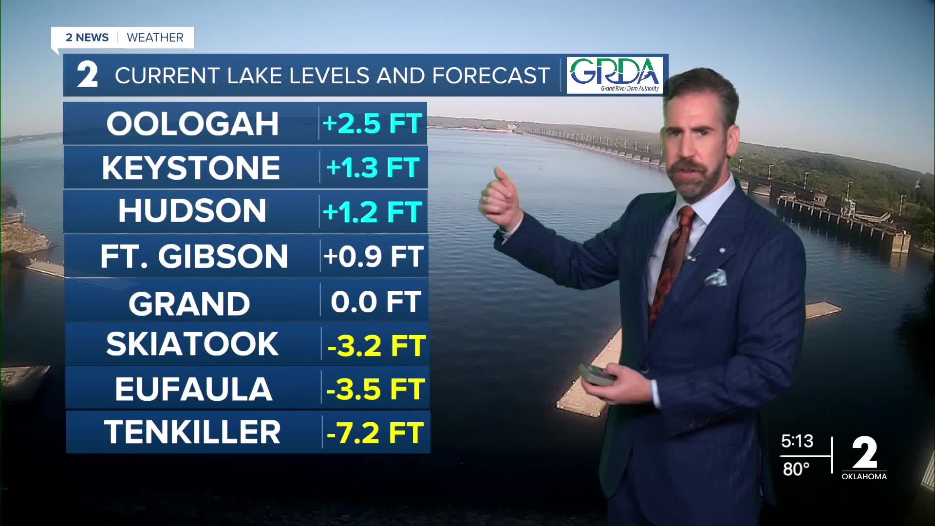
Another drought indicator is lake levels. Reservoirs in eastern Oklahoma range from slightly above average to well below their normal height. Recent rainfall had mixed results in affecting the water rises.
The long-range outlook brings a wetter-than-average pattern to Oklahoma starting at the end of October. This is a common trend with El Niño, which creates a strong subtropical jet stream over the southern U.S., bringing more moisture-laden storm systems to the region in the fall and winter. This bodes well for continued drought improvement as we head into the final 2 months of the year.
 Facebook
 TikTok
 YouTube
 Instagram
 Threads
 X
