



TULSA, OKLA — Reinforcing cooler air will overspread the area today with light to moderate northerly winds under a mostly sunny sky. Highs near seasonal average in the 60s.
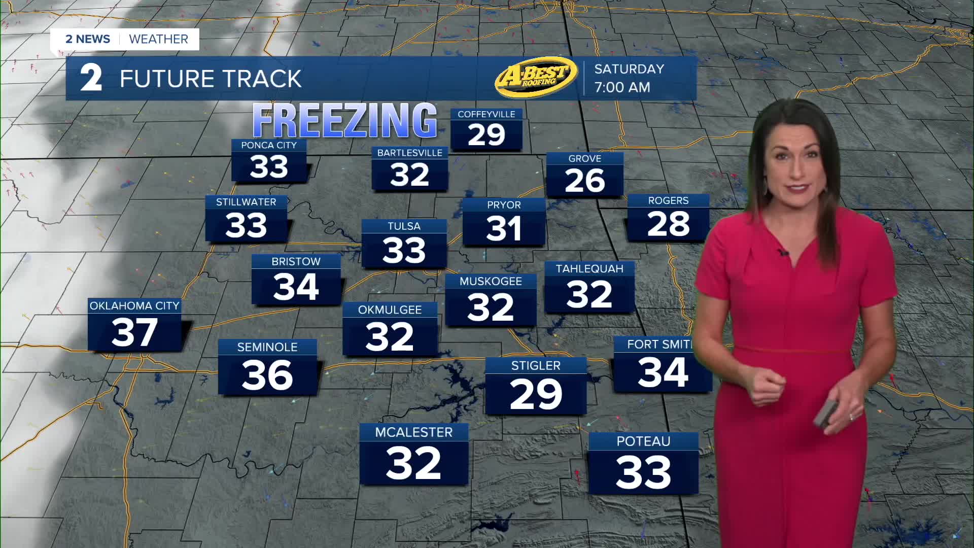
Colder conditions will settle in tonight and continue into Saturday morning. Temperatures will dip into the 30s, with frost and freeze conditions possible across much of the area. By Friday night, freezing temperatures are expected to become more widespread, with some locations potentially experiencing a hard freeze. Frost and Freeze Advisories or Warnings will likely be needed for parts of the area.
High temperatures Friday and Saturday will remain cool with a northerly breeze and additional cloud cover keeping conditions feeling chilly.
Rain chances will return late Saturday night and continue through Sunday as another storm system moves across the region. Most areas could see at least some light rainfall, although dry air moving in from the east may limit how far north and east the rain spreads. The best chance for more substantial rainfall will be across southeast Oklahoma.
Cloud cover and rain will keep temperatures cool on Sunday, making for a chilly and raw day. Showers should gradually taper off by Monday morning.
Quiet and drier weather is expected to return early next week, with temperatures gradually warming through midweek. Another storm system could bring additional rain chances during the latter half of next week.
 Facebook
 TikTok
 YouTube
 Instagram
 Threads
 X
