

TULSA, Okla. — Scattered shower and storm activity will be south of I-40 this evening. Widespread severe weather is not expected, but a couple of storms could pulse up to a wind and hail threat. The slow movement may bring a localized flood through as well..
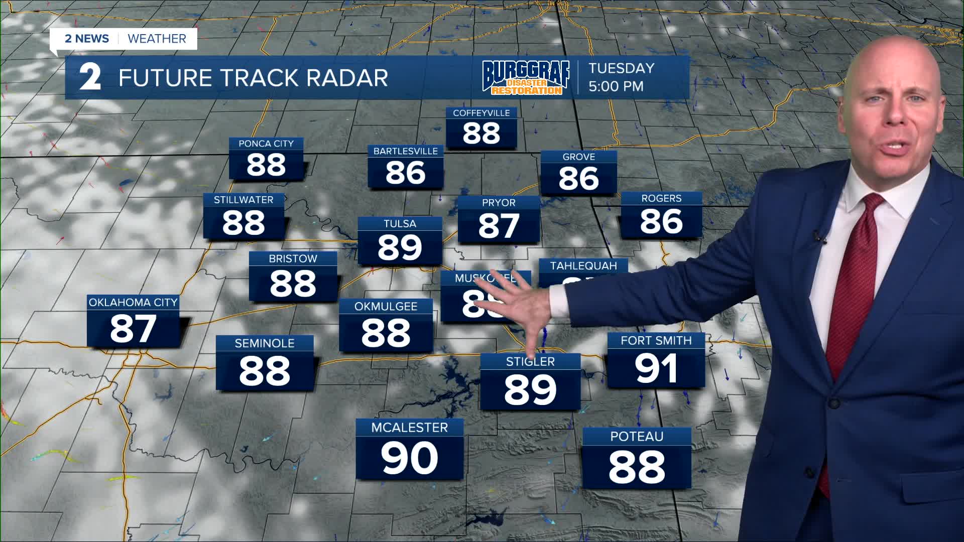
Lows around 70° Tuesday morning with highs in the mid/upper 80s again in the afternoon. Dry conditions and partly cloudy to mostly sunny skies will be perfect for outdoor plans.
The chance for a few more widely scattered showers and storms comes back Wednesday and remain through the holiday weekend. Lows will be in the upper 60s Wednesday morning, otherwise in the low to the mid 70s Thursday through Sunday. Highs in the low to the mid 90s.
In terms of the forecast for Friday night for fireworks, there is a chance a few storms will be possible, but too early to know who will have the highest chance. Keep checking back with us as we look to fine tune the forecast through the end of the week.
Stay in touch with us anytime, anywhere --
- Download our free app for Apple, Android and Kindle devices.
- Sign up for daily newsletters emailed to you
- Like us on Facebook
- Follow us on Instagram
- Watch LIVE 24/7 on YouTube
