



TULSA, OKLA. — We'll see partly cloudy skies tonight with a slight chance for a passing shower or t-storm. The low in Tulsa down to 75°. South winds 5-15 mph.
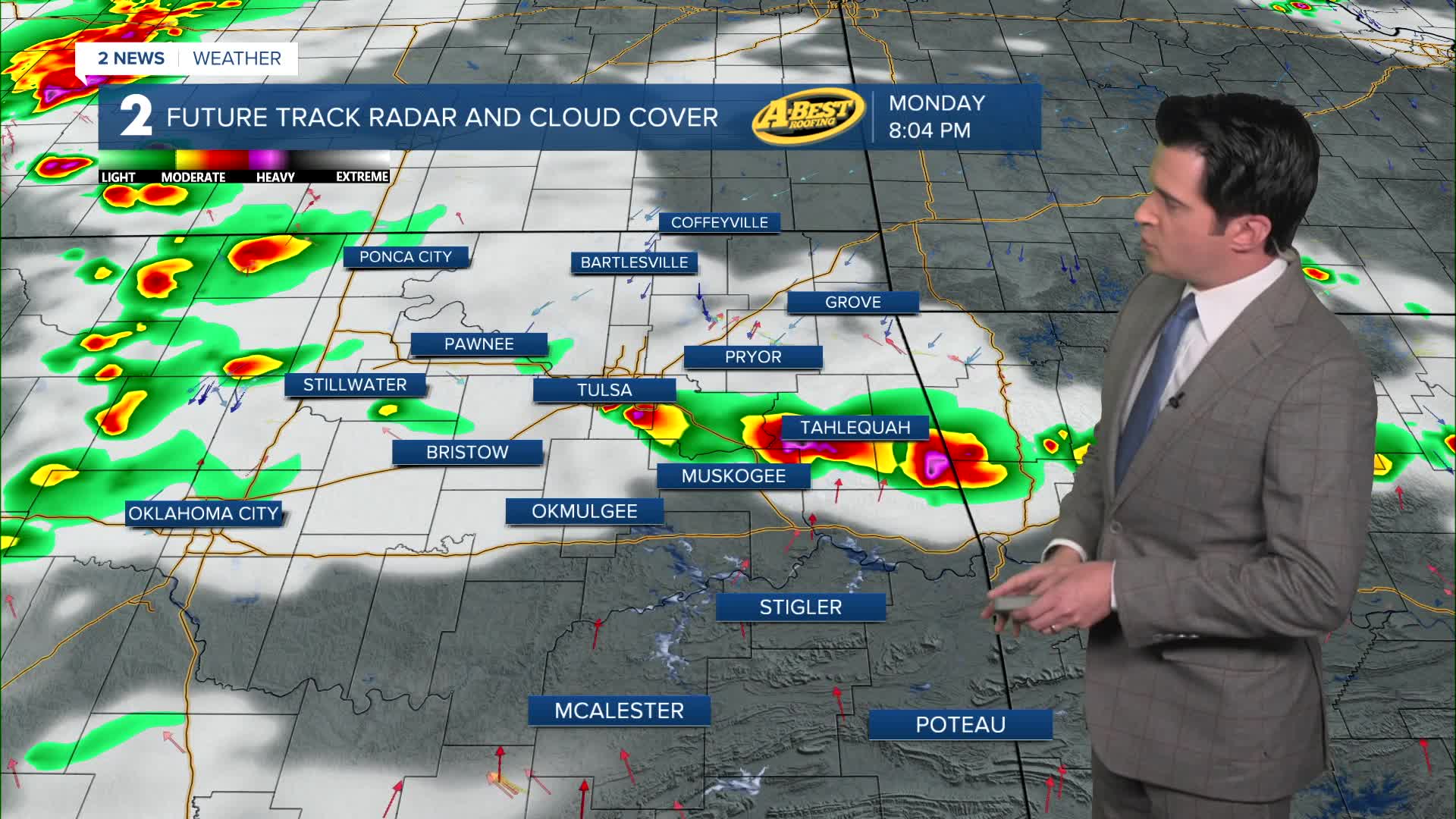
Mostly sunny on Monday with the high up to 95°. The max heat index in the afternoon reaching 103°. SW/NE winds 5-15 mph. Chance for some scattered showers and t-storms developing by early evening and lasting through the night. The severe threat is on the lower end.
Lows in the low 70s Tuesday with highs in the upper 80s. NE winds helping us out 10-15 mph. The heat index up to 94°. Chance for some early morning showers and t-storms. The severe threat remains low. Partly cloudy skies.
Partly cloudy on Wednesday. Lows in the mid 60s with highs in the mid 80s. SE winds 5-15 mph.
On Thursday, partly cloudy with a slight chance for showers and t-storms. Lows in the mid 60s with highs in the mid to upper 80s. South winds 10-15 mph.
For Friday and Saturday, mostly cloudy skies with a higher chance for more widespread showers and t-storms. Lows around 70° with highs in the mid 80s.
For Sunday, less of a chance for showers with partly cloudy skies. Lows still around 70° with highs in the mid 80s.
Have a great week ahead!
Stay in touch with us anytime, anywhere --
- Download our free app for Apple, Android and Kindle devices.
- Sign up for daily newsletters emailed to you
- Like us on Facebook
- Follow us on Instagram
- Watch LIVE 24/7 on YouTube
