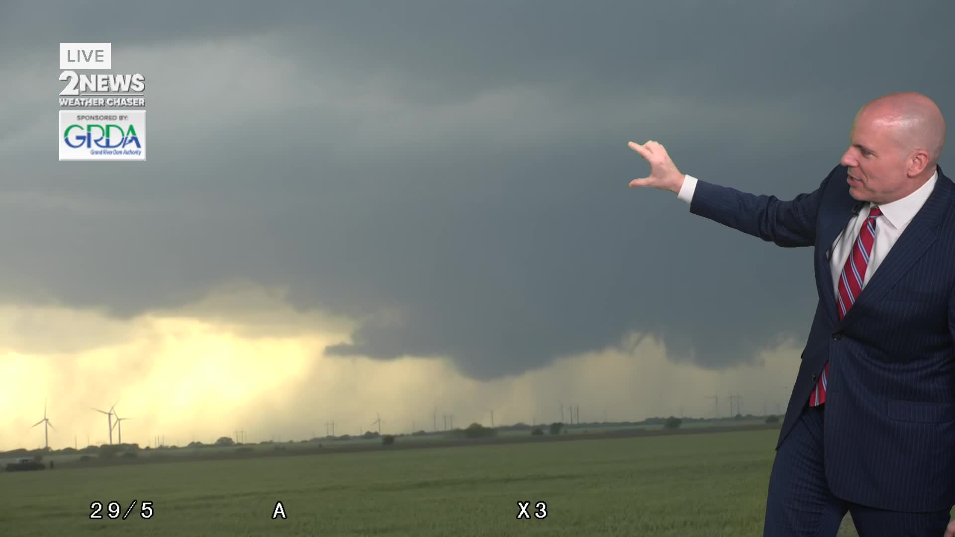


TULSA, OKLA — Storm chances increase tonight as thunderstorms fire to our northwest and move into SE Kansas and eventually eastern Oklahoma. These storms may be severe with very large hail, damaging wind gusts and the potential for a tornado or two. The highest threat of severe weather will be north of Tulsa, but even in the metro we can not rule our some severe weather. It'll be
This line of storms will drop southward through the overnight hours into Friday morning, gradually weakening with time and southward extent. A few showers and storms may still linger near/south of I-40 around sunrise Friday with lows in the lower 60s.
T-storms may re-fire Friday afternoon, mainly south of I-40 with a continued severe weather threat. Any storms that form in Green Country should exit the viewing area by mid-evening with generally quiet, dry weather for the rest of the night and through early afternoon Saturday.
Storm chances increase again Saturday afternoon and evening with all modes of severe weather possible. Another round of severe storms is possible Sunday afternoon and evening as well with the potential for high winds, large hail and a few tornadoes. A slight chance of storms lingers into Monday before a cold front arrives that day.
Slightly cooler, drier weather arrives there to follow. However, by the middle of next week, warm moist air returns, and rain and storm chances make a return.
Make sure weather alerts are enabled on your phone and you know where to shelter if warnings are issued.
Stay in touch with us anytime, anywhere --
- Download our free app for Apple, Android and Kindle devices.
- Sign up for daily newsletters emailed to you
- Like us on Facebook
- Follow us on Instagram
- Watch LIVE 24/7 on YouTube
