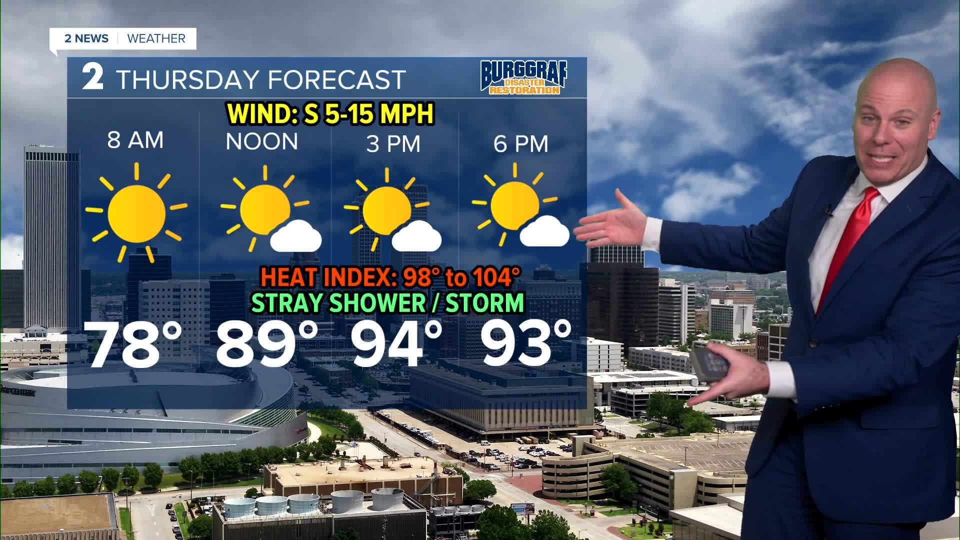


TULSA, OKLA. — Seasonably hot and humid weather will remain as we finish out the work week. Look for lows in the 70s Thursday morning then highs in the mid 90s. Heat index values will range between 98° and 104°. Slight chance for a late day shower or t-storm in southeast Oklahoma with mostly sunny skies.
We'll see more of the same Friday with mid 70s Friday morning, then mid 90s again for afternoon highs. Heat index just over 100°. Slim chance of an isolated shower or t-storm later in the day, but chances will likely go up overnight into Saturday morning.
With a front nearby, showers and storms look likely off-and-on through the weekend. Gusty winds and a localized flood threat will be the main concern.
The unsettled pattern continues for early next week with scattered showers into the mix. Lows in the lower 70s with highs near 90.
Have a great rest of the week!
Stay in touch with us anytime, anywhere --
- Download our free app for Apple, Android and Kindle devices.
- Sign up for daily newsletters emailed to you
- Like us on Facebook
- Follow us on Instagram
- Watch LIVE 24/7 on YouTube
