

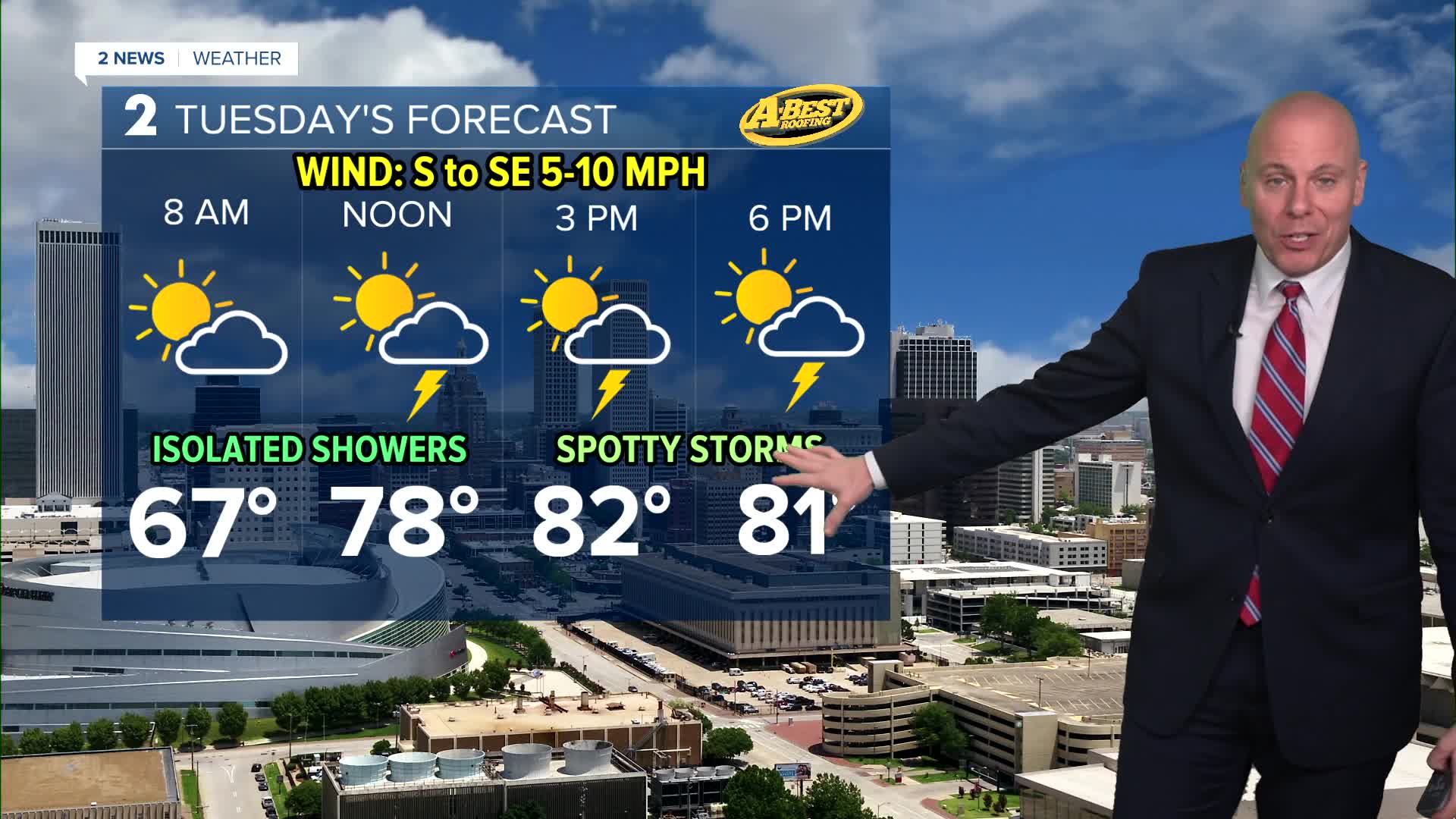


TULSA, OKLA. — Temperatures will remain mild overnight with morning lows by daybreak reaching the low/mid 60s
I few isolated showers may develop in the morning, then a few pop-up storms will be possible in the afternoon. Not everybody will see rain, but a few spots will. No severe weather expected.
As of now, our wettest days look to be Wednesday and Thursday. Some localized flooding is possible with pockets of heavier rain. No severe weather is expected. Just more rain for our plants and grass.
Looking ahead to the weekend, the chance for scattered showers and thunderstorms will remain in the forecast, but the coverage should be less Friday, Saturday, and Sunday. Don't cancel plans, just be mindful of any nearby storms.
Stay in touch with us anytime, anywhere --
- Download our free app for Apple, Android and Kindle devices.
- Sign up for daily newsletters emailed to you
- Like us on Facebook
- Follow us on Instagram
- Watch LIVE 24/7 on YouTube
