

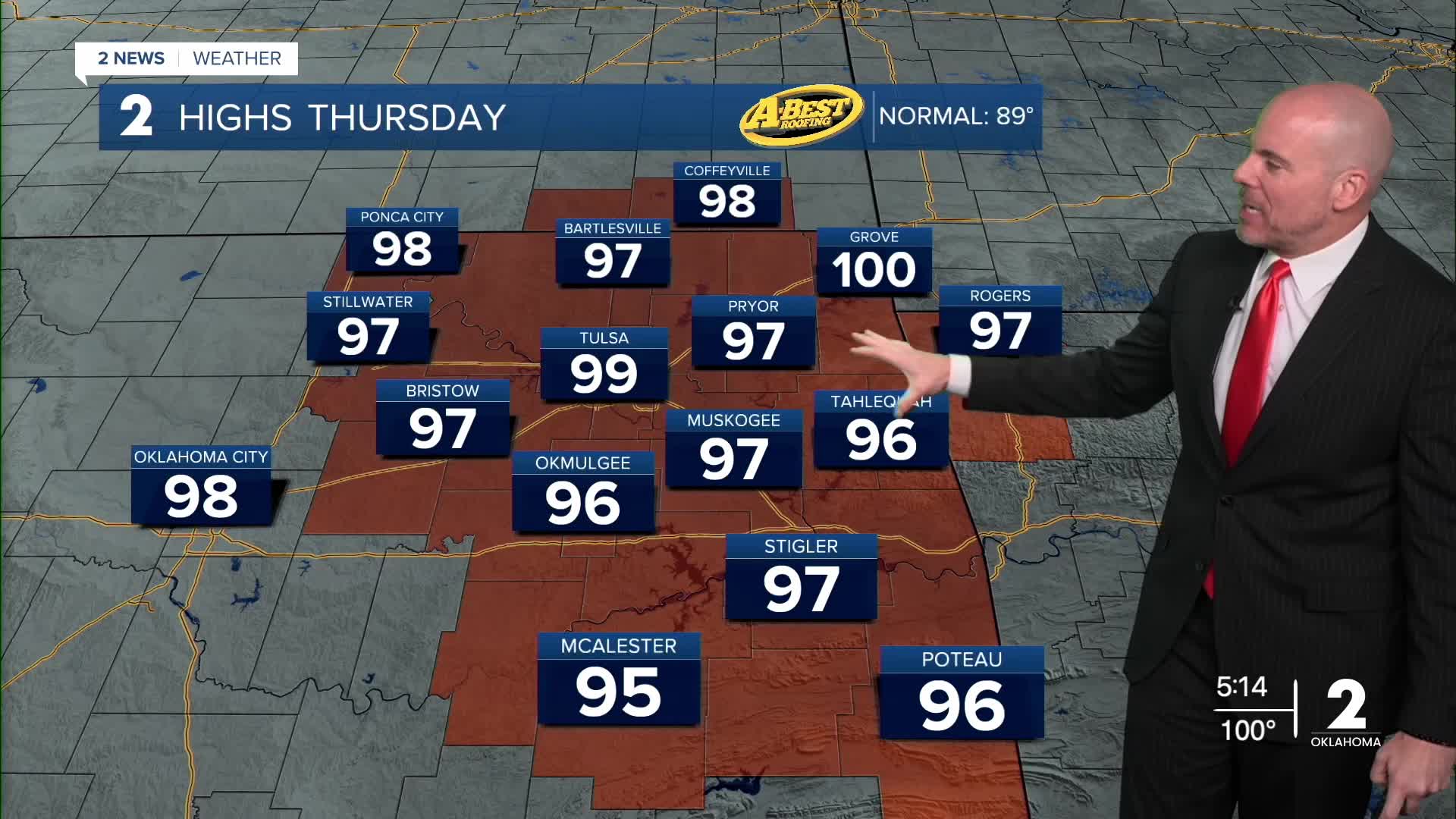



TULSA, OKLA — ***HEAT ADVISORY FOR SE KANSAS AND MOST OF EASTERN OKLAHOMA FROM NOON to 8 PM THURSDAY***
Expect a quiet and warm night with morning lows ranging from low/mid 70s away from Tulsa to upper 70s in Tulsa.
Temperatures may ease back a few degrees Thursday and Friday as tropical moisture pushes north from the Gulf Coast. Still, the afternoon heat index will rise over 105° in many locations.
A few isolated showers cannot be ruled out in southeast Oklahoma Thursday and Friday. However, most areas stay dry with little meaningful rain expected for at least a week.
Temperatures will remain well above normal, with dangerous heat continuing to impact outdoor activities into the holiday weekend. Long-range trends indicate triple-digit heat could continue across parts of Green Country into much of next week as well.
If you’re making Labor Day plans, be prepared for the heat. Drink plenty of water, seek shade or air conditioning, and take frequent breaks from the heat, especially during the afternoon. Afternoon high temperatures will be in the triple digits.
The lack of rainfall is becoming an increasingly serious problem. With little meaningful rain in the forecast, drought conditions are expected to worsen into early next week. Dry vegetation and soils will also contribute to localized fire-weather concerns, particularly when winds become gusty.
Stay in touch with us anytime, anywhere --
- Download our free app for Apple, Android and Kindle devices.
- Sign up for daily newsletters emailed to you
- Like us on Facebook
- Follow us on Instagram
- Watch LIVE 24/7 on YouTube
