

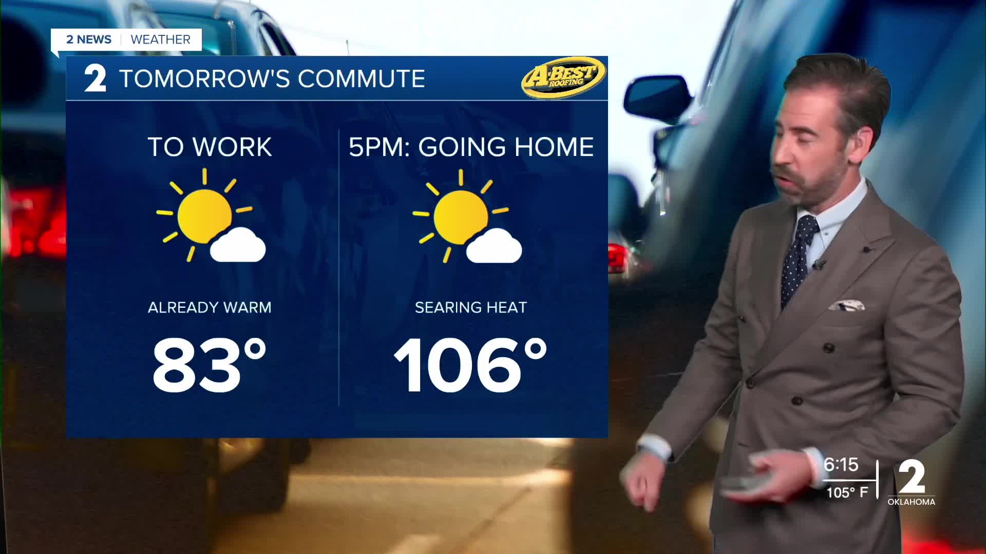


TULSA, OKLA — ***EXTREME HEAT WARNINGS AND HEAT ADVISORIES IN EFFECT FOR ALL OF GREEN COUNTRY THRU 9PM WEDNESDAY***
Mostly dry and remaining hot tonight after a brutally hot Tuesday. Skies will be mostly clear with a stray shower possible.
The heat continues Wednesday, with temperatures again reaching the triple-digit values area-wide. Some locations could approach 105° to 110°, making Wednesday potentially the hottest day of the year.
A weak front will begin moving into the area Wednesday afternoon and evening. That front will bring a slight chance for scattered showers and thunderstorms Wednesday night into Thursday. If a thunderstorm can be maintained, locally strong wind gusts and some hail may occur. However, most locations will likely remain dry.
Temperatures will ease back slightly behind the front late this week, but still trend above average for late August.
Highs will still climb into the upper 90s to near the century each afternoon with heat index values still topping 100°.
By the weekend, the heat builds again. Mostly sunny skies, increasing winds and highs near or above 100° are expected across much of Green Country.
The combination of extreme heat, very limited rainfall, dry vegetation and occasional gusty winds is increasing fire weather concerns across Green Country.
Please avoid outdoor burning whenever possible, and continue taking precautions against the heat. Even with a few chances for showers and storms thru Thursday morning, overall conditions are expected to remain hot and dry into next week.
Stay in touch with us anytime, anywhere --
- Download our free app for Apple, Android and Kindle devices.
- Sign up for daily newsletters emailed to you
- Like us on Facebook
- Follow us on Instagram
- Watch LIVE 24/7 on YouTube
