



TULSA, OKLA — Look for a few clouds tonight, but we'll stay dry with morning lows dipping into the mid 70s. Wednesday looks to be another toasty day as afternoon highs climb into the upper 90s, with a few spots seeing triple digits.
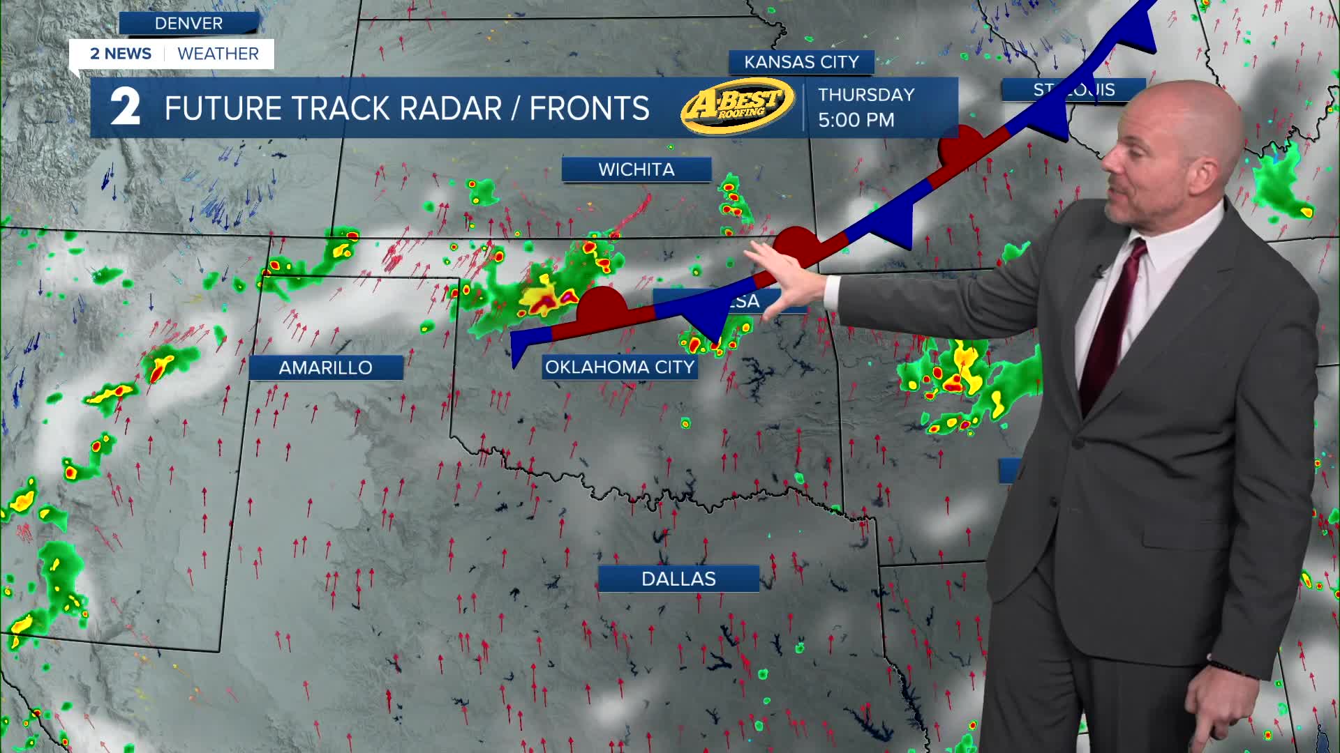
Slight rain chances begin to return Wednesday, as a weak cold front will settle near the Oklahoma-Kansas border, bringing isolated showers and thunderstorms. Any storms that develop could produce gusty winds and brief heavy downpours.
More isolated showers and storms possible Thursday with temperatures still remaining very hot during the day with highs near 100°. The best opportunity for more widespread rain arrives late Thursday into Friday morning as another weather disturbance moves through the region. While not everyone will receive rainfall, locations along and north of I-40 have the greatest chance for showers and thunderstorms. This will likely be the best opportunity for meaningful rainfall this week.
Despite the late-week storm chances, temperatures will remain well above normal, with highs staying in the 90s and heat index values still above 100°. Once the rain moves out, hot and mostly dry weather returns for the weekend and early next week, with triple-digit temperatures expected to make a comeback.
Stay in touch with us anytime, anywhere --
- Download our free app for Apple, Android and Kindle devices.
- Sign up for daily newsletters emailed to you
- Like us on Facebook
- Follow us on Instagram
- Watch LIVE 24/7 on YouTube
