

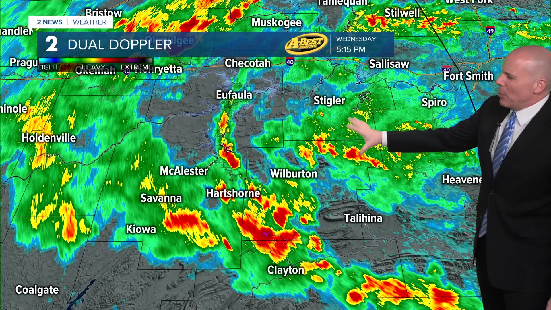


TULSA, OKLA — Scattered showers and perhaps some rumbles of thunder will remain possible overnight. Locally rain could be heavy in spots. A few spotty showers will likely remain into Thursday morning.
Scattered showers and storms will remain across Green Country during the day Thursday, and with widespread cloud cover and wet weather will lead to highs only in the upper 70s.
Off and on rain chances continue late this week into the weekend with locally heavy downpours. As instability increases Friday and into Saturday, there may be an opportunity for a few severe storms. A lot of this will depend on how the next 36 hours evolve, but something we are monitoring.
A modest warming trend is expected heading into the weekend with continued humid conditions and storm chances remaining Sunday and to start next week.
Stay in touch with us anytime, anywhere --
- Download our free app for Apple, Android and Kindle devices.
- Sign up for daily newsletters emailed to you
- Like us on Facebook
- Follow us on Instagram
- Watch LIVE 24/7 on YouTube
