

TULSA, OKLA. — We'll see partly cloudy skies tonight with the low in Tulsa down to 61°. East winds 5-10 mph.
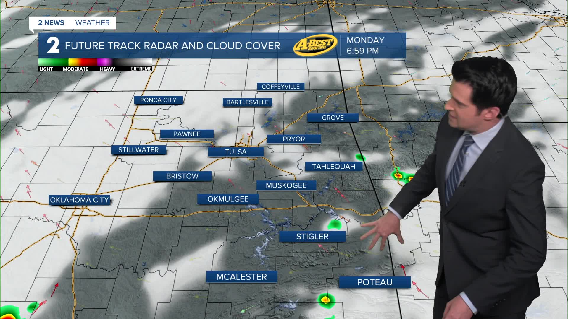
Partly cloudy skies on Monday. Could see a few areas of patchy fog early in the morning. The high in Tulsa up to 86°. SE winds 5-10 mph. Might see some isolated showers/t-storms later in the day in far eastern Oklahoma and down to SE Oklahoma. The coverage will be small. Hope everybody has a nice holiday.
Turning mostly cloudy on Tuesday with an increasing chance for some scattered showers and t-storms firing up in the afternoon. Lows in the mid 60s with highs around 80°.
The unsettled pattern with showers will last into this coming weekend, though the coverage of showers goes down for Saturday and Sunday. For Wednesday through Friday, lows in the mid 60s with highs from the upper 70s to around 80°. Scattered showers and thunderstorms along with mostly cloudy skies.
Over the weekend, partly cloudy skies. Lows in the mid to upper 60s with highs in the low to mid 80s. Chance for some showers and thunderstorms.
Stay in touch with us anytime, anywhere --
- Download our free app for Apple, Android and Kindle devices.
- Sign up for daily newsletters emailed to you
- Like us on Facebook
- Follow us on Instagram
- Watch LIVE 24/7 on YouTube
