

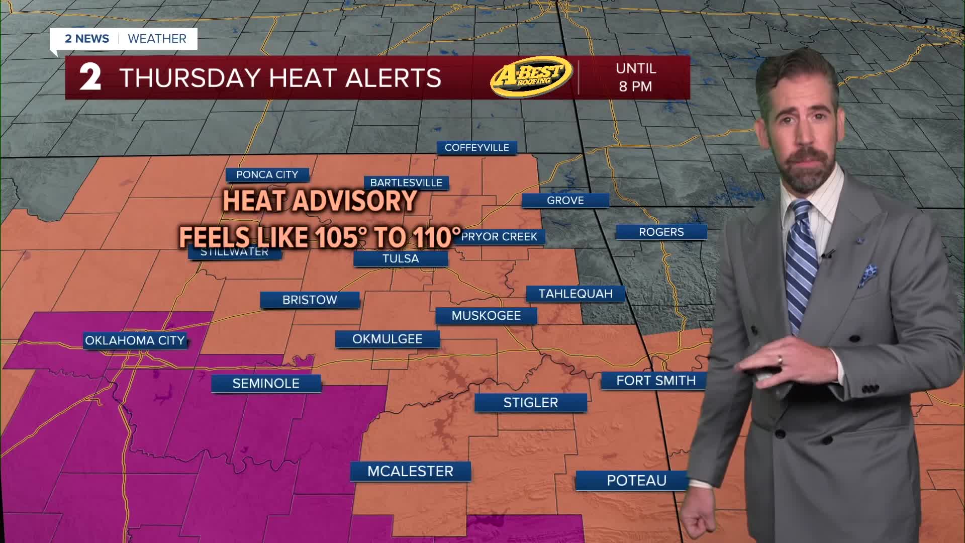


TULSA, OKLA — ***HEAT ADVISORY FROM NOON UNTIL 8PM FOR COUNTIES ALONG AND SOUTH OF HIGHWAY 412***
***OZONE ALERT! IN EFFECT FOR THE TULSA METRO AREA ON FRIDAY***
A hot Thursday will give way to warm, somewhat humid conditions for the evening hours. Overnight, a round of showers and isolated storms will develop across Green Country. Brief heavy rainfall, gusty winds and lightning are the main threats.
By Friday morning, temperatures will be in the lower to mid-70s. Gradually clearing skies will give way to another hot and humid afternoon. Highs will be in the lower 100s with a heat index topping 105°.
Friday is also an Ozone Alert! Day which means air quality may be impacted by surface ozone pollution. If you suffer from a respiratory illness, plan to spend more time indoors to stay safe from the potential reduction in air quality. To help air quality levels, reduce anything that causes outdoor emissions by driving less, holding off on mowing and waiting to refuel until after dark.
Another round of rain and potential t-storms is possible late Friday night into Saturday morning for parts of Green Country. However, most of Saturday and Sunday will be dry with highs approaching the century mark.
Very hot conditions persist into early next week with triple-digit heat, an uptick in wind speeds and a slight chance for a round or two of rain.
The combination of extreme heat, very limited rainfall, drying vegetation and occasional gusty winds is creating increasing fire weather concerns across the region.
As fuels continue to dry out, the potential for fires to start and spread will increase.
Avoid outdoor burning whenever possible, and use extra caution with anything that could create a spark.
Stay in touch with us anytime, anywhere --
- Download our free app for Apple, Android and Kindle devices.
- Sign up for daily newsletters emailed to you
- Like us on Facebook
- Follow us on Instagram
- Watch LIVE 24/7 on YouTube
