

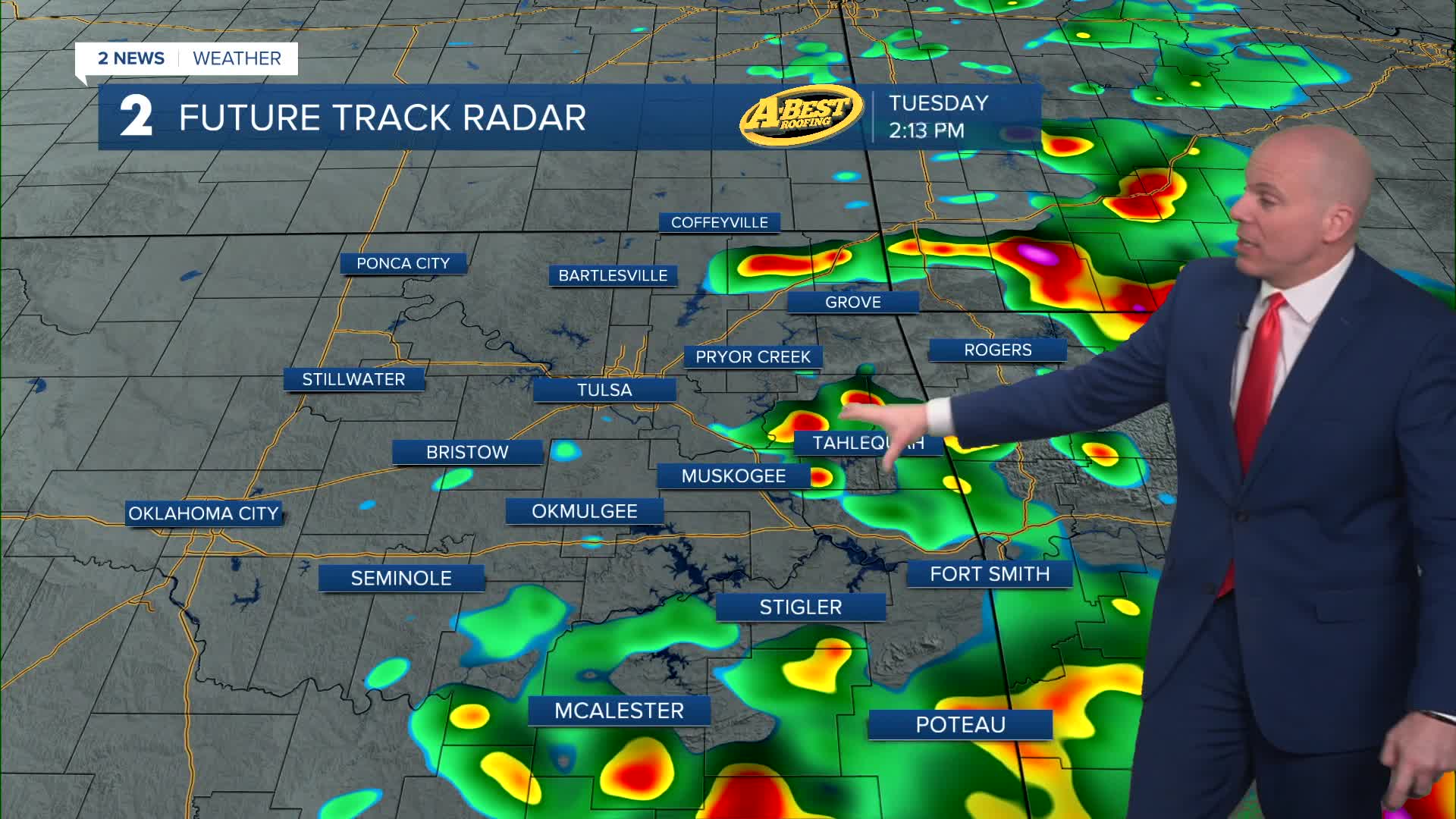


TULSA, Okla. — A cold front will usher cooler air into Green Country tonight with a blustery NW wind. This will bring Tuesday morning temperatures into the 50s and daytime highs only up into the 60s to lower 70s with mostly cloudy skies.
A round of rain and thunderstorms is likely Tuesday, especially south of Tulsa. Scattered downpours and some thunderstorms will pose a limited threat of severe weather during the day, mainly in southeast and far eastern Oklahoma. Large hail is the primary risk. Rain should taper off by evening in the area.
A pleasant and dry Wednesday is expected with lows in the lower 50s. Afternoon highs in the lower 70s are expected again with a refreshing northerly breeze.
On Thursday and Friday, cloud cover returns with a chance for rain. This will keep our temperatures on the cool side with lows in around 50° and highs only in the 60s late this week. The highest chance of rain is Friday.
It looks like we'll dry out this weekend with seasonably cool to mild temperatures. Outdoor plans are a go both Saturday and Sunday!
Stay in touch with us anytime, anywhere --
- Download our free app for Apple, Android and Kindle devices.
- Sign up for daily newsletters emailed to you
- Like us on Facebook
- Follow us on Instagram
- Watch LIVE 24/7 on YouTube
