



TULSA, Okla — Any showers and thunderstorms will diminish overnight with morning lows falling into the mid/upper 70s.
Friday will be a near-repeat of the weather conditions today with highs in the 90s and a heat index climbing above the century mark by afternoon. Once again, a few afternoon showers and t-storms are possible.
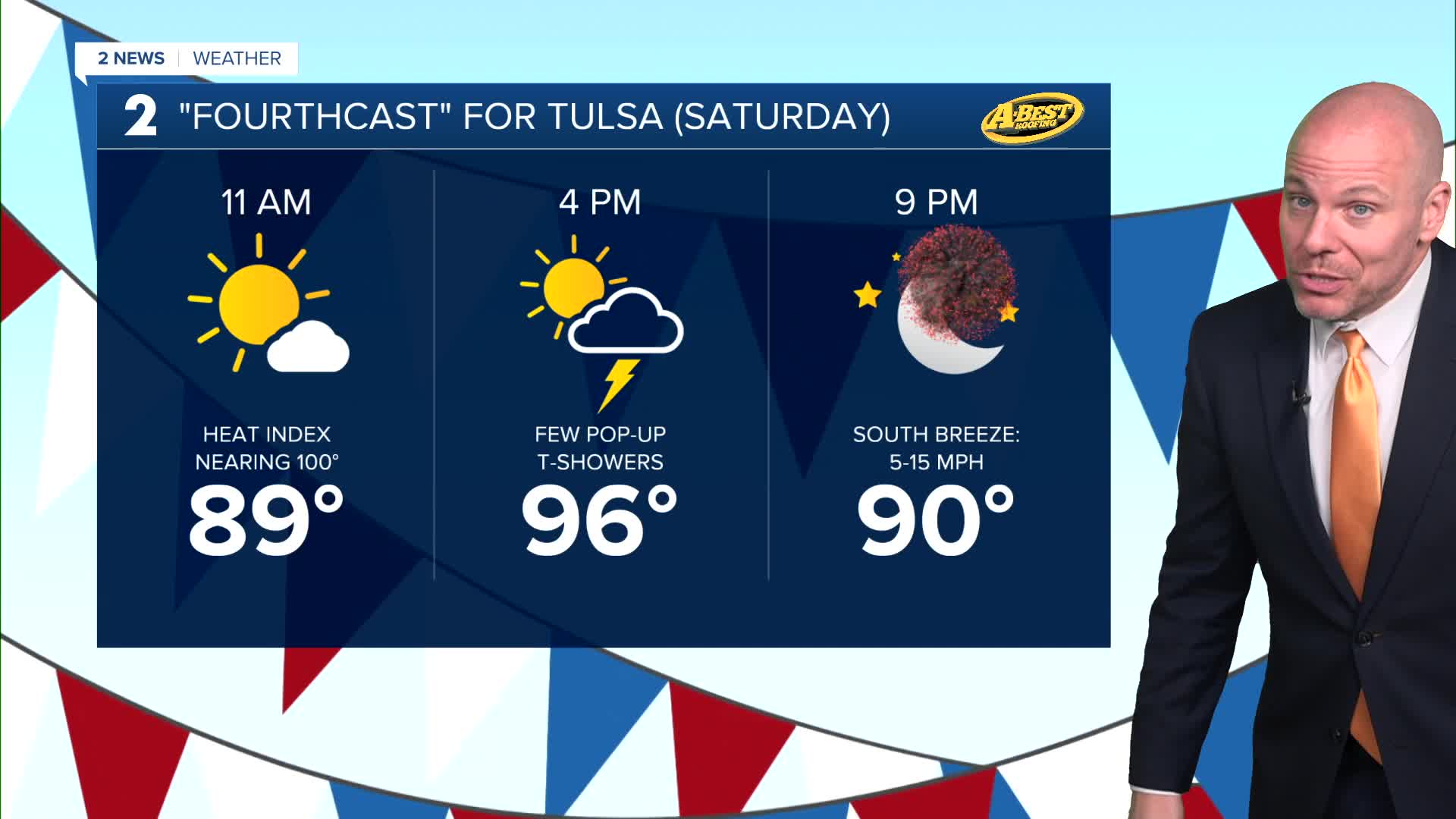
The holiday week will continue to bring dangerous heat to Green Country with a heat index approaching 105°. The heat and humidity of the days will spark a few isolated showers and t-storms that should dissipate in time for evening fireworks displays. The better chance of rain comes Sunday through early next week with a frontal boundary drifting south into our viewing area.
The somewhat unsettled weather pattern early next week may take the edge off the heat. However, daily readings will still likely climb into the lower 90s in this window of time. A warming trend is possible later next week with low-end storm chances.
Stay in touch with us anytime, anywhere --
- Download our free app for Apple, Android and Kindle devices.
- Sign up for daily newsletters emailed to you
- Like us on Facebook
- Follow us on Instagram
- Watch LIVE 24/7 on YouTube
