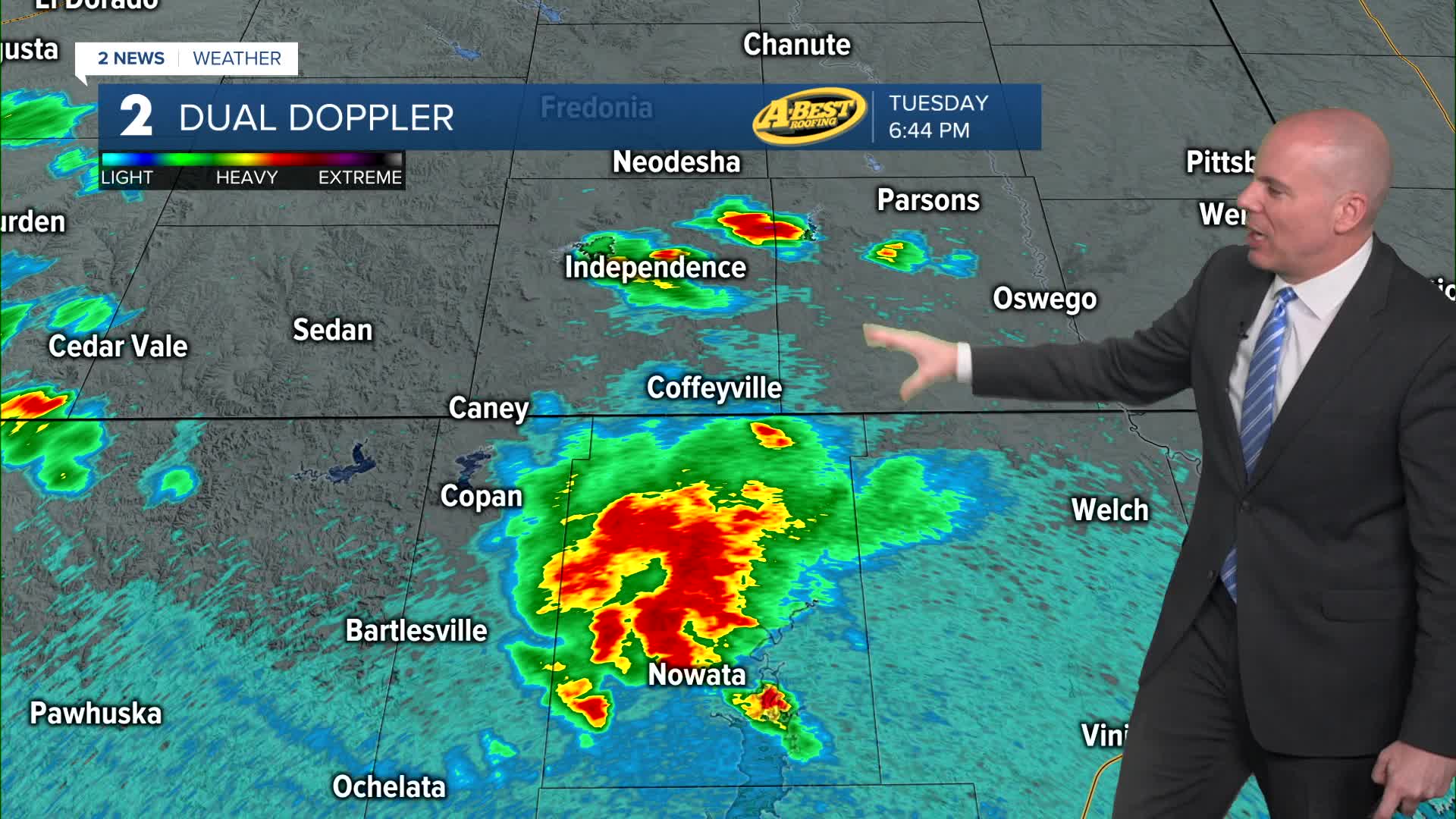


TULSA, OKLA — Spotty showers and isolated t-storms will remain possible overnight hours. Morning lows should hold in the upper 60s.
A few isolated showers and storms we'll remain possible . Highs in the mid-80s are expected.
The quiet weather will be short-lived. Southerly winds will return by Thursday, bringing increasing moisture back into the region. As a result, shower and thunderstorm chances will increase late Thursday and become more likely on Friday and into the weekend.
Periods of rain and t-storms appear likely through this stretch, but the severe weather risk remains low. The precise timing of when these waves of heavier rain occur is still an uncertainty being we are a few days away, but keep the umbrella with you for any weekend plans. Temperatures will remain mild to warm with highs remaining into the 80s well into next week.
Stay in touch with us anytime, anywhere --
- Download our free app for Apple, Android and Kindle devices.
- Sign up for daily newsletters emailed to you
- Like us on Facebook
- Follow us on Instagram
- Watch LIVE 24/7 on YouTube
