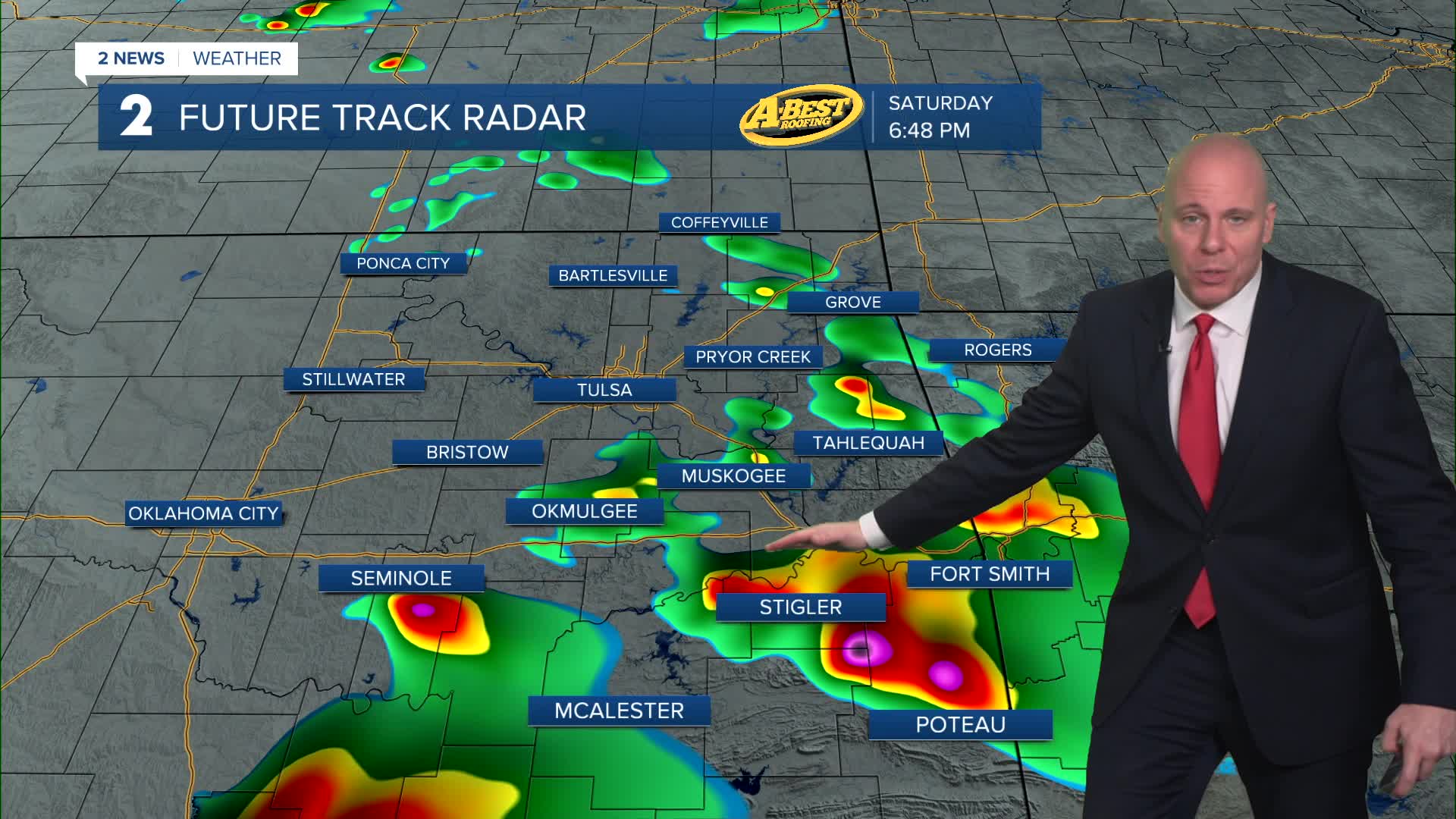


TULSA, OKLA. — Quieting down overnight with a slight chance for a stray shower or t-storm. The low in Tulsa down to 61°. SE winds 5-15 mph with gusts 25 mph.
On Sunday, mostly cloudy skies with chance for widely scattered showers and storms in the morning through the afternoon. The severe risk is there, mainly wind and hail, with a very limited tornado threat. Many folks will likely squeeze by dry. The high up to 79°. SSE 10-20 mph with gusts up to 30 mph.
On Monday, mostly sunny skies with lows very warm in the upper 60s with highs in the upper 80s. Southwest winds 15-25 mph. There could be a few showers and storms in far eastern Oklahoma in the afternoon to early evening as a cool front comes into the area. These might be strong to severe.
Behind the cool front for Tuesday, lows in the low 50s with highs in the mid 70s. A lot of clouds with some sunbreaks. Slim chance for some showers and t-storms. Northeast winds 10-15 mph.
Mostly sunny on Wednesday with lows in the low 50s with highs in the low 70s. Northeast 10-15 mph.
On Thursday and Friday, mostly cloudy skies with a chance for some showers. Lows in the low 50s with highs in the low 70s on Thursday with mid 60s on Friday.
As of now for next weekend, it looks pretty calm. Lows in the 40s with highs from the upper 60s to the mid 70s.
Stay in touch with us anytime, anywhere --
- Download our free app for Apple, Android and Kindle devices.
- Sign up for daily newsletters emailed to you
- Like us on Facebook
- Follow us on Instagram
- Watch LIVE 24/7 on YouTube
