



TULSA, OKLA. — Spotty showers are possible through the evening with gradually decreasing cloud cover overnight. Temperatures will drop into the mid-70s for lows by the morning.
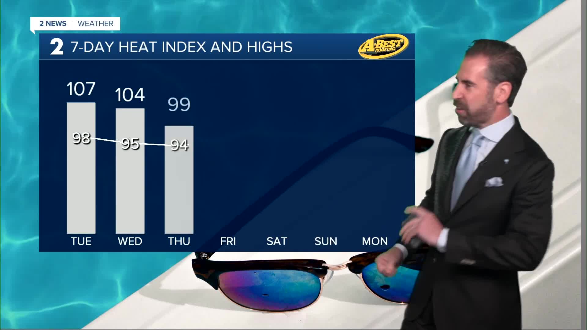
Tuesday will be partly to mostly sunny and hot, with afternoon highs in the upper 90s to around 100°. Heat index values could reach 107°.
The dry stretch will be brief, as another disturbance is expected to move into the region Tuesday night/overnight/early Wednesday morning, bringing another chance for scattered showers and thunderstorms.
Wednesday will be partly cloudy with highs in the mid 90s and heat index values around 102°. Thursday will remain partly cloudy, with highs in the mid 90s and heat index values near 100°. Morning lows both days in the 70s.
After a refreshing start to Friday morning in the upper 60s, temperatures rebound well into the 90s by afternoon with ample sunshine. The warming trend continues this weekend as the high pressure (heat ridge) expands further over Green Country. Expect temperatures to return to the triple-digits with a heat index well over the century mark each afternoon with continued dry weather.
While some areas will receive a bit of rainfall from showers and thunderstorms, other locations will remain relatively dry to completely dry. Localized fire weather concerns and drought will continue until more widespread, prolonged rainfall occurs.
Stay in touch with us anytime, anywhere --
- Download our free app for Apple, Android and Kindle devices.
- Sign up for daily newsletters emailed to you
- Like us on Facebook
- Follow us on Instagram
- Watch LIVE 24/7 on YouTube
