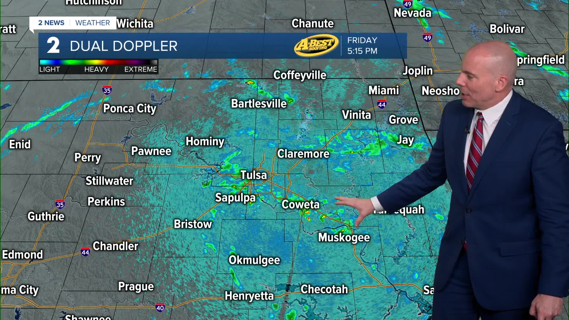


TULSA, OKLA — An isolated shower and thunderstorm chance will remain overnight into Saturday morning. Morning lows in the lower 70s. Any rain is expected to move through quickly, with drier weather returning by the afternoon with temperatures returning to the mid/upper 80s. Windy conditions expected.
Sunday brings a slight chance for isolated showers or thunderstorms. Partly cloudy, warm and windy otherwise. Storm chances are highest late in the day from any activity that forms along the dry line to our west.
A much more active weather setup is expected early next week as a strong storm system moves into the Plains. On Monday afternoon and evening, conditions may become favorable for significant severe weather across parts of the area with all severe threats possible, but there is still some uncertainty with the timing. Some data hints storms may hold of until late evening and night, if that is the case, damaging wind and hail will be the primary threats with a lower tornado risk. If storms arrive earlier, the tornado risk may be higher. We will be fine tuning the details through the weekend.
The cold front is expected to continue moving south through the area on Tuesday, keeping storm chances with us followed by a modest midweek cool-down. Lingering showers and isolated t-storms may be with us later in the week with mild temperatures. Some severe weather may be possible, depending on how fast/slow the front is able to sweep across the region.
The details for next week’s severe weather setup are still evolving. Small changes in the storm system’s track and timing could significantly affect where the strongest storms develop.
Please continue to stay weather-aware through the weekend and monitor updated forecasts as confidence increases.
Stay in touch with us anytime, anywhere --
- Download our free app for Apple, Android and Kindle devices.
- Sign up for daily newsletters emailed to you
- Like us on Facebook
- Follow us on Instagram
- Watch LIVE 24/7 on YouTube
