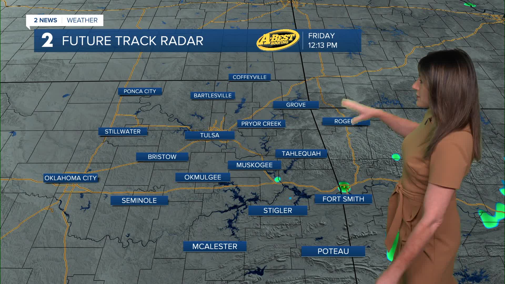


TULSA, OKLA — A few isolated showers and thunderstorms will remain possible today, but most locations are expected to stay dry. The greatest chance for storms Friday will be across southeast Oklahoma, while afternoon temperatures climb into the mid to upper 80s.
Tonight, only a stray storm is expected near the Oklahoma-Kansas border, with most areas remaining dry. Overnight lows will remain warm in the lower 70s.
Rain and storm chances will increase this weekend as a storm system moves into the region. Scattered thunderstorms are expected to develop Saturday and become more widespread Saturday night into Sunday.
While organized severe weather is not anticipated, a few storms could become strong or briefly severe, especially Sunday. The primary concern will be locally heavy rainfall, which could lead to isolated flooding in some areas.
Anyone with outdoor plans this weekend should keep an eye on the forecast and have an indoor backup option ready. High temperatures will remain relatively comfortable, ranging from the low to mid-80s.
Unsettled weather is expected to linger into Monday, particularly across eastern portions of the region, with additional showers and thunderstorms possible.
By the middle of next week, a strong area of high pressure is forecast to build over the Southern Plains, bringing a noticeable increase in heat and humidity while reducing rain chances. Forecast temperatures and moisture levels could push afternoon heat index values to 105 degrees or higher in some locations.
If current trends continue, heat-related advisories may become necessary by the middle of next week as the first significant stretch of summer-like heat arrives across the area.
Stay in touch with us anytime, anywhere --
- Download our free app for Apple, Android and Kindle devices.
- Sign up for daily newsletters emailed to you
- Like us on Facebook
- Follow us on Instagram
- Watch LIVE 24/7 on YouTube
