

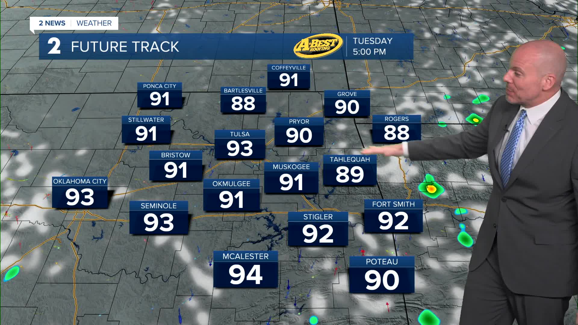


TULSA, OKLA — Similar conditions are expected Tuesday to what we saw on Monday. Morning lows around 70° with patchy fog will give way to another mostly sunny and muggy day with a light wind. Isolated showers and storms cannot be ruled out.
By Wednesday and especially Thursday, summer heat returns in full force. High temperatures will climb into the mid to upper 90s, with heat index values well above the century mark in the afternoons. Thursday is expected to be the hottest day of the week!
Late in the week, a weak front will approach the area, bringing renewed chances for scattered showers and thunderstorms from Thursday into the weekend. While it’s still too early to determine the exact timing and coverage, a few rounds of storms are possible. The front should also provide a modest cool-down, bringing temperatures closer to seasonal averages for a short time.
There are some differences with how next week will play out. We'll currently keep a slight chance of storms in the forecast with temps near average (low/mid 90s).
Stay in touch with us anytime, anywhere --
- Download our free app for Apple, Android and Kindle devices.
- Sign up for daily newsletters emailed to you
- Like us on Facebook
- Follow us on Instagram
- Watch LIVE 24/7 on YouTube
