

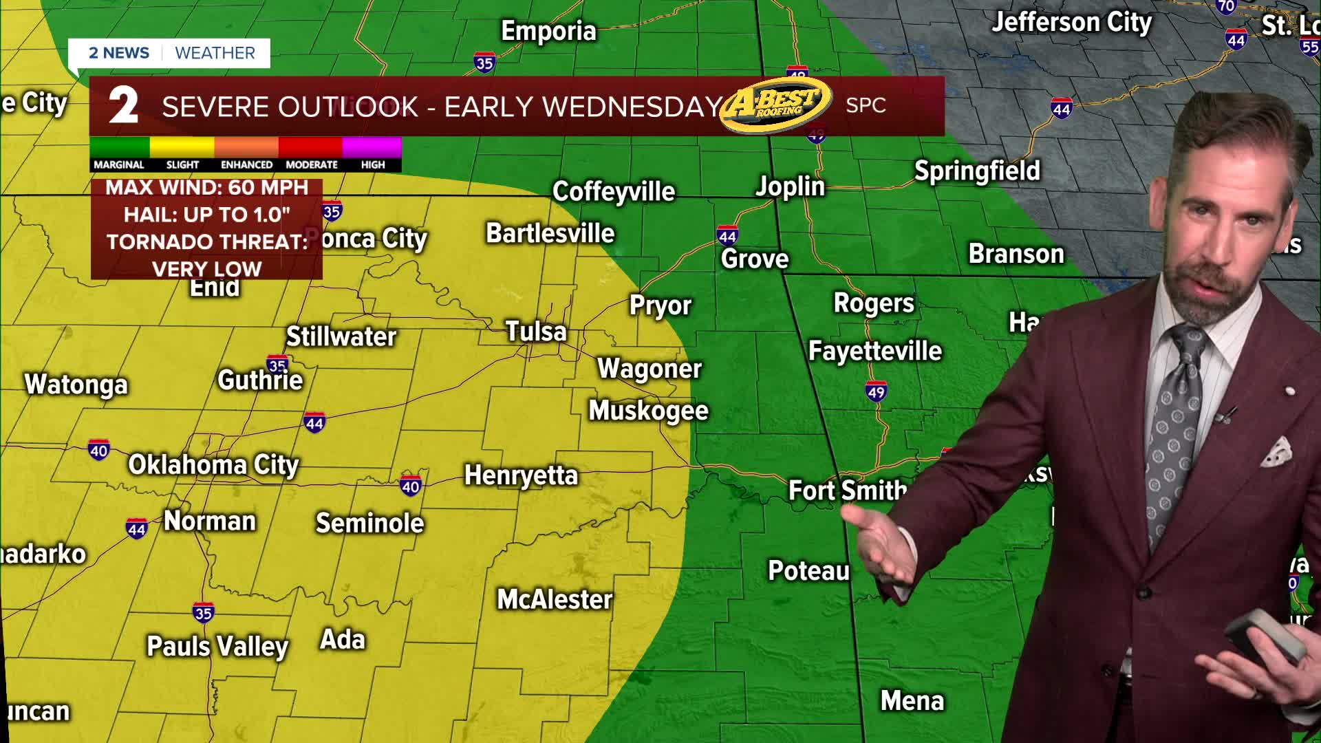


TULSA, OKLA. — ***FLOOD WATCH FOR MOST OF EASTERN OKLAHOMA UNTIL 7 AM WEDNESDAY***
Spotty showers are expected for the rest of our Tuesday evening with temperatures holding steady tonight in the lower 70s.
Widespread rain and thunderstorms become likely by Wednesday morning with a very limited risk of severe weather. Flooding is the main concern with downpours for the day ahead, which will be most likely through midday before tapering off to spotty showers by afternoon. Highs will be in the lower 80s.
A few more rounds of showers and t-storms are likely late this week, especially north of Tulsa near a lingering frontal boundary. Heavy rainfall and localized flooding will be the main threat. The chance of storms comes to an end this weekend.
Temperatures will be on a warming trend for the second half of the week. With more sunshine and less rainfall with time, temperatures will creep up each day. Morning lows will jump to near 80° by the weekend. 80° highs will give way to daily highs in the 90s starting this weekend. Combined with high moisture levels in the air, the afternoon heat index may top 100° as early as Friday.
Summertime heat, humidity and sunshine will be with us for nearly all of next week as highs level out in the mid-90s.
Stay in touch with us anytime, anywhere --
- Download our free app for Apple, Android and Kindle devices.
- Sign up for daily newsletters emailed to you
- Like us on Facebook
- Follow us on Instagram
- Watch LIVE 24/7 on YouTube
