

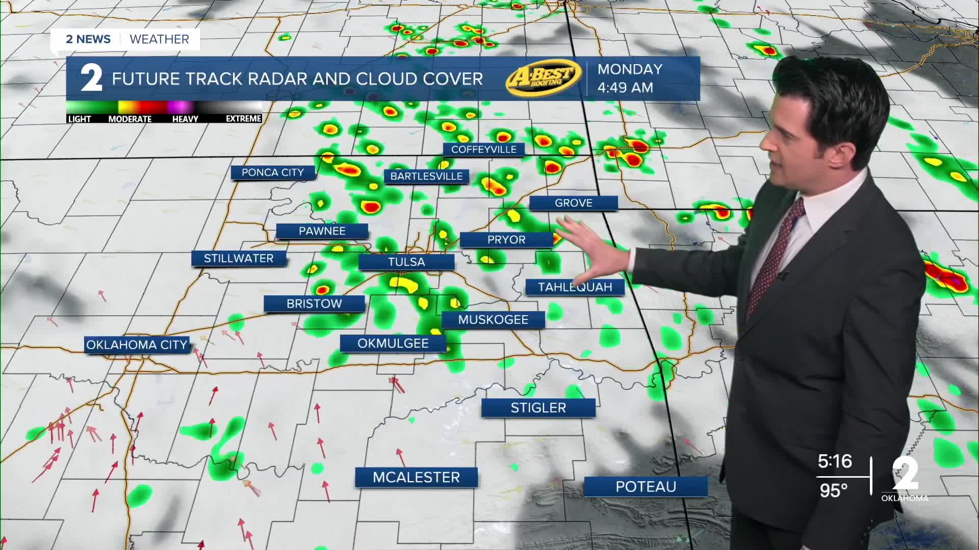


TULSA, OKLA. — We'll have partly to mostly cloudy skies overnight tonight with the low down to 77° in Tulsa. Look for an increasing chance for scattered showers and t-storms to develop. East winds 5-15 mph. Some might be strong to severe with wind and/or hail. These will last through Monday morning.
By the afternoon, drier conditions with the high up to 96° in Tulsa. SE winds 10-15 mph with gusts 25 mph. Max heat index 107°.
Mostly sunny on Tuesday. Lows in the mid 70s with highs in the upper 90s. NE winds 5-15 mph. Max heat index 108°.
Partly cloudy on Wednesday with lows still in the mid 70s with highs in the mid 90s. NE winds 5-15 mph. Max heat index 102°.
For Thursday, lows in the lower 70s with highs upper 90s. Partly cloudy. NE winds 5-15 mph. Max heat index 100°.
Mostly sunny skies on Friday with morning temps to start in the low 70s and then afternoon highs in the upper 90s. SE winds 5-15 mph. Max heat index 102°.
For next weekend, lows in the mid 70s with highs around 100°. Mostly sunny. Max heat index 106° to 107°. Breezy south winds.
Have a great week ahead!
Stay in touch with us anytime, anywhere --
- Download our free app for Apple, Android and Kindle devices.
- Sign up for daily newsletters emailed to you
- Like us on Facebook
- Follow us on Instagram
- Watch LIVE 24/7 on YouTube
