



TULSA, OKLA. — ***EXTREME HEAT WARNINGS AND HEAT ADVISORIES GO INTO EFFECT AREA-WIDE TUESDAY AT 1PM THRU WEDNESDAY AT 9PM***
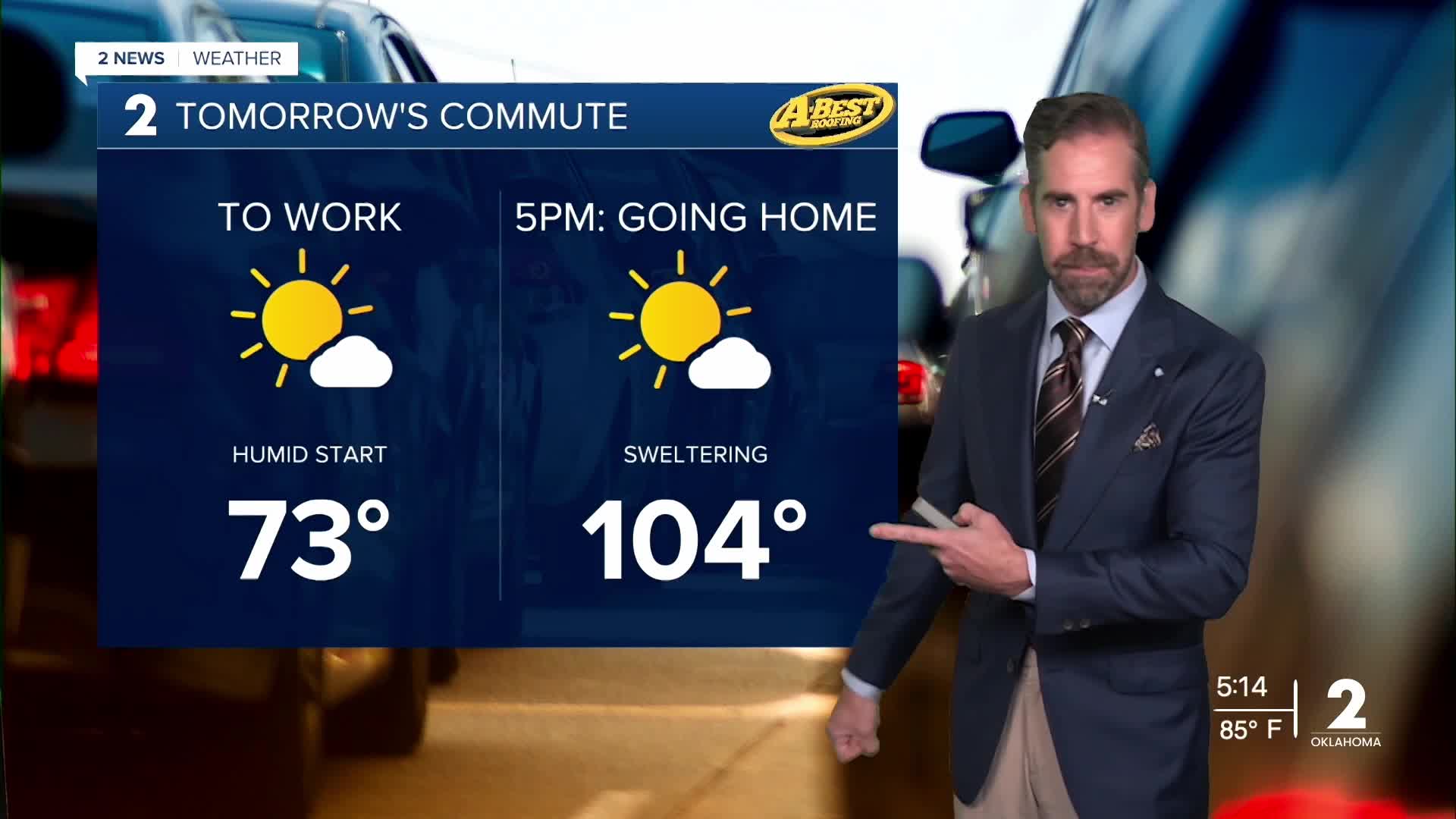
Aside from a few spotty showers, expect a generally quiet, mild and humid evening and overnight. By Tuesday morning, temperatures will dip into the lower 70s.
High pressure strengthens across the Southern Plains tomorrow and Wednesday sending temperatures soaring again into the triple-digits area-wide.
Tuesday will be mostly sunny, with a high near 104° and heat index values around110° with a light to moderate southerly breeze. While a few stray t-showers are possible Tuesday, most locations will remain dry.
Similar extreme heat is expected on Wednesday with morning lows in the lower 80s, triple-digit highs and dangerous heat index values.
Another frontal boundary will move into the region Wednesday night and Thursday, bringing widely scattered showers and a few t-storms to the area. Still, many locations will remain dry.
The edge gets taken off the heat a bit late this week in the wake of the weak cold front. Still, temperatures will likely reach the upper 90s each afternoon with a heat index running above the century mark.
By the weekend, expect mostly sunny and hot conditions with an increasing breeze. High temperatures will once again top 100° in many locations with little heat relief heading into next week.
The combination of extreme heat, limited rainfall, and dry vegetation is creating growing fire weather concerns across Green Country as drought continues to worsen across the region with many areas remaining dry for a few weeks now. Please avoid outdoor burning if possible and continue to take heat precautions.
Stay in touch with us anytime, anywhere --
- Download our free app for Apple, Android and Kindle devices.
- Sign up for daily newsletters emailed to you
- Like us on Facebook
- Follow us on Instagram
- Watch LIVE 24/7 on YouTube
