



TULSA, OKLA — Rain chances diminish overnight leading with a slight chance for a few isolated showers remaining into Saturday morning. A few pop-up showers and storms will be possible in the afternoon, but coverage will be limited.
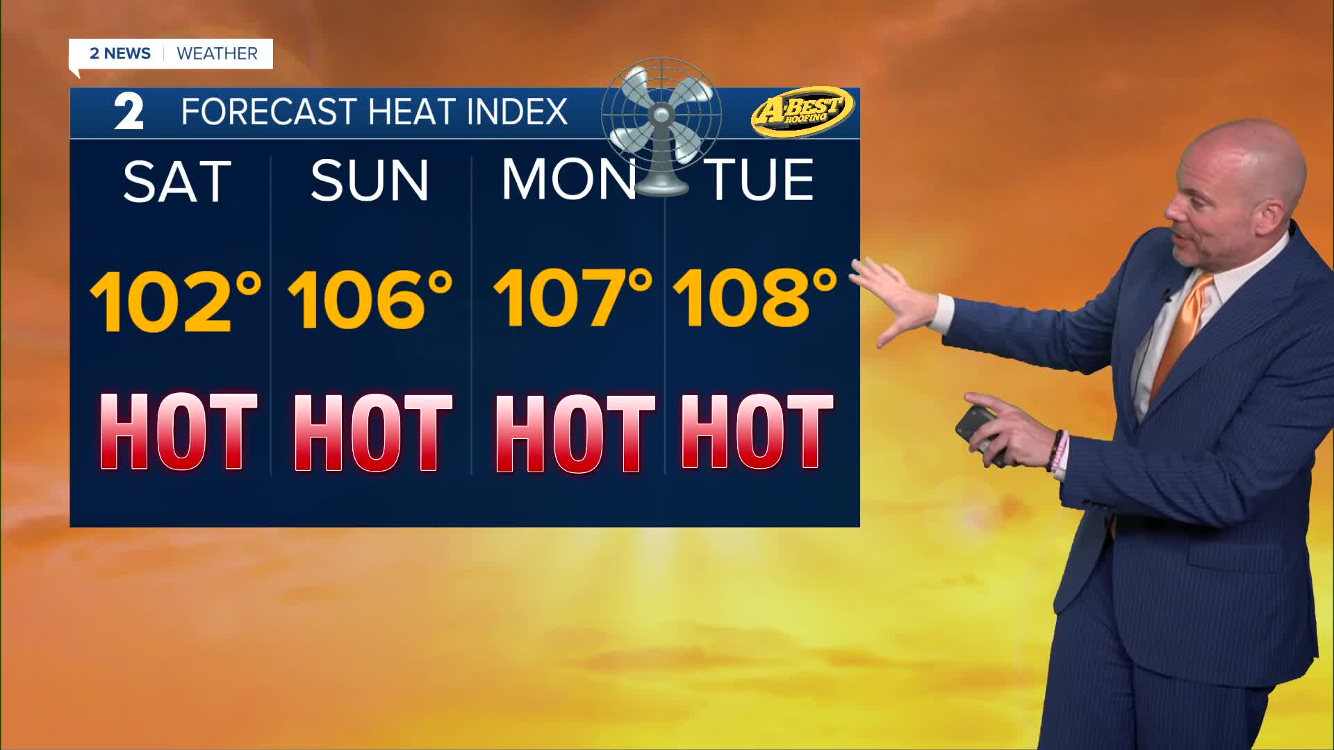
Temperatures will steadily climb through the weekend as a strengthening ridge of high pressure builds overhead. Highs will reach the low to mid-90s Saturday before climbing into the mid to upper 90s Sunday. Humidity will push heat index values into the triple digits, so anyone spending time outdoors should stay hydrated, take frequent breaks, and limit strenuous afternoon activities.
The hottest weather arrives early next week. High temperatures are expected to soar into the upper 90s and low 100s Monday and Tuesday, with heat index values climbing between 105 and 110 degrees. Heat advisories or other heat-related alerts may become necessary if the forecast holds.
Tulsa could record its first 100-degree day of the year as early as Monday. On average, the city’s first triple-digit temperature occurs around July 10, meaning this year’s first 100-degree day would arrive later than average, and would be our first since August 19th of last year.
Forecast confidence decreases by the middle and end of next week. Some forecast models suggest the ridge of high pressure weakens enough to bring slightly cooler temperatures and a small chance for rain, while others keep the ridge firmly in place, allowing dangerous heat to continue. For now, the forecast takes a middle-ground approach, but still toasty, while trends become clearer over the next several days.
Stay in touch with us anytime, anywhere --
- Download our free app for Apple, Android and Kindle devices.
- Sign up for daily newsletters emailed to you
- Like us on Facebook
- Follow us on Instagram
- Watch LIVE 24/7 on YouTube
