

***SEVERE THUNDERSTORM WATCH for Tulsa, Osage, Pawnee, Creek, Okfuskee, Okmulgee, Washington, Chautauqua (KS), Montgomery (KS), Nowata, Graig, Ottawa, Delaware, Mayes, Rogers, and Wagoner Counties until 10pm***
***FLOOD WATCH IN EFFECT FROM 10 THIS EVENING THROUGH TOMORROW MORNING. These Counties include McIntosh, Pittsburg, Muskogee, Cherokee, Adair, Sequoyah, Haskell, Le Flore and Latimer***
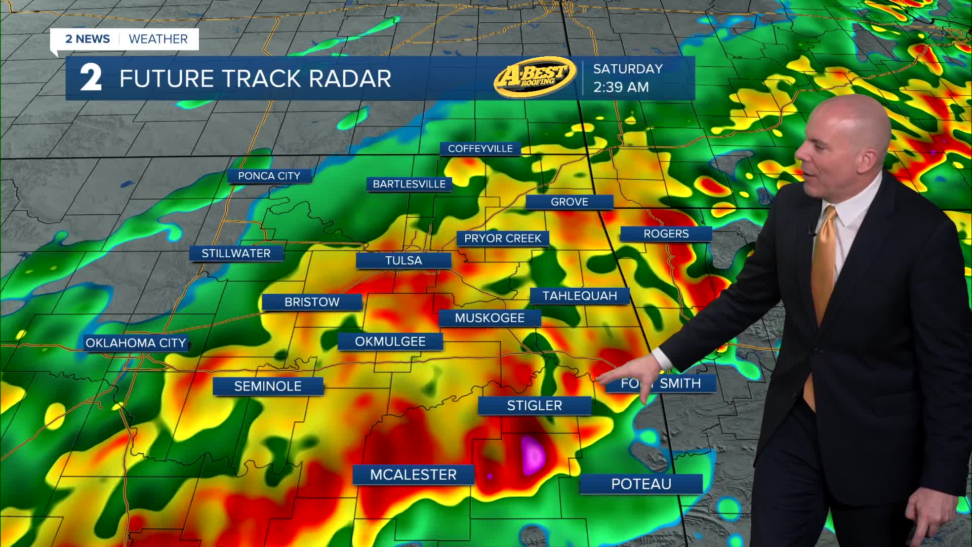
A few strong to severe storms will track across Green Country tonight through Saturday morning. Some storms could produce damaging winds, large hail, a low tornado threat and heavy downpours. The severe threat should decrease after midnight, but heavy rain may continue, especially south and east of I-44. Some locations could see 1-3 inches of rain with locally higher amounts possible, which may cause isolated flooding.
Rain gradually moves out by Saturday morning as cooler and drier air moves in behind the front. Skies will also clear with highs in the low/mid-60s.
Easter Sunday is looking beautiful with lots of sunshine and seasonable temperatures. After a cool monring starting int the low 40s, highs will range from the mid 60s to around 70-degrees. Outdoor Easter Egg hunts will be good to go!
Dry and pleasant weather continues through much of next week before another active weather pattern bringing more rain and storms returns late in the week.
Stay in touch with us anytime, anywhere --
- Download our free app for Apple, Android and Kindle devices.
- Sign up for daily newsletters emailed to you
- Like us on Facebook
- Follow us on Instagram
- Watch LIVE 24/7 on YouTube
