

TULSA, OKLA — Storms have moved out of the region and the severe threat is over! Cooler air continues to arrive through the night with overnight lows in the upper 40s and lower 50s.
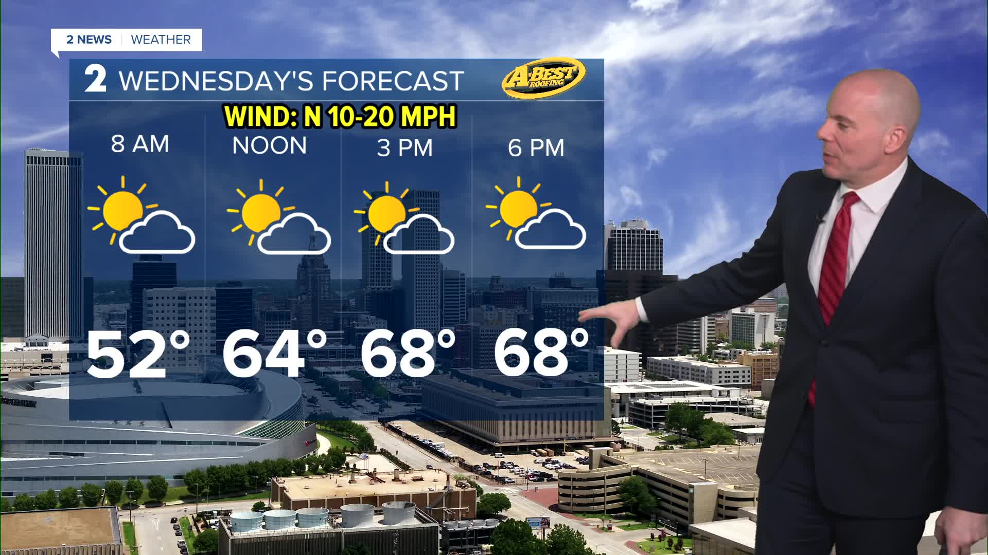
Wednesday will be quite pleasant with sunshine and highs around 70°.
Late this week, another round of rain is possible between Thursday afternoon and Friday with the highest chances of rain south of I-40. Highs in the 60s. No severe weather is expected.
We dry out over the weekend with mild daytime readings and chilly nights with lows back in the 40s. Outdoor plans will be a go!
Next chance of any severe weather may arrive by the middle of next week.
Stay in touch with us anytime, anywhere --
- Download our free app for Apple, Android and Kindle devices.
- Sign up for daily newsletters emailed to you
- Like us on Facebook
- Follow us on Instagram
- Watch LIVE 24/7 on YouTube
