

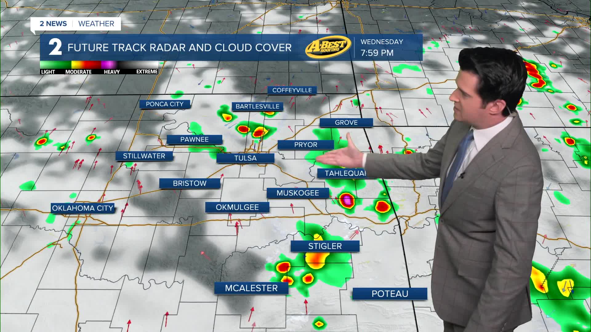


TULSA, OKLA. — Clouds will continue to be on the increase this afternoon. Some showers and t-storms are possible, especially across SE Oklahoma. Timing would be afternoon to early evening. Severe weather unlikely.
The best chance for scattered showers and t-storms will be on Wednesday. They could start during the morning off to the south and then across the rest of Green Country during the afternoon to early evening hours. Severe weather is unlikely.
Highs will be below average through Friday in the upper 80s to low 90s. The average all week long is 94°.
Data is still suggesting we could hit 100° by Sunday or Monday. We are targeting Monday the 20th as of now. Our average first 100° day is July 10th.
Stay in touch with us anytime, anywhere --
- Download our free app for Apple, Android and Kindle devices.
- Sign up for daily newsletters emailed to you
- Like us on Facebook
- Follow us on Instagram
- Watch LIVE 24/7 on YouTube
