

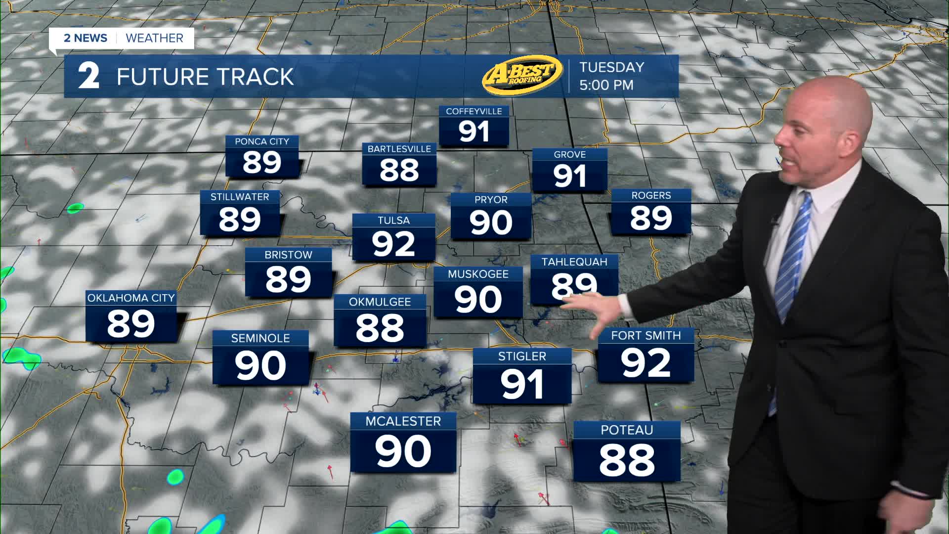


TULSA, OKLA — Any isolated showers and storms will diminish tonight with mostly clear skies expected into Tuesday morning. Lows will be comfortable in the upper 60s to low 70s.
Small, widely scattered shower and thunderstorm chances will be possible again on Tuesday afternoon with highs in the upper 80s to low 90s.
A weak weather disturbance moving across the Southern Plains is expected to increase shower and thunderstorm coverage Wednesday afternoon and evening. Although widespread severe weather is not anticipated, a few stronger storms could still produce localized damaging wind gusts.
Once Wednesday’s system moves out, high pressure will strengthen bringing hotter and drier weather back to Green Country.
Temperatures will be slow to initially climb at the end of the week, but will continue warming over the weekend, and remain hot into early next week!
Current forecast trends suggest Tulsa could reach 100° for the first time this year on Sunday or early next week. While that forecast is still several days away and could change, it’s something we’ll be watching closely.
Stay in touch with us anytime, anywhere --
- Download our free app for Apple, Android and Kindle devices.
- Sign up for daily newsletters emailed to you
- Like us on Facebook
- Follow us on Instagram
- Watch LIVE 24/7 on YouTube
