

TULSA, OKLA — Mostly clear and quiet this evening with overnight lows in the upper 60s and lower 70s.
This trend will continue over the weekend with seasonably hot temperatures in the low to mid-90s and upper 80s to low 90s on Sunday. Low humidity values will thankfully keep the heat index in check.
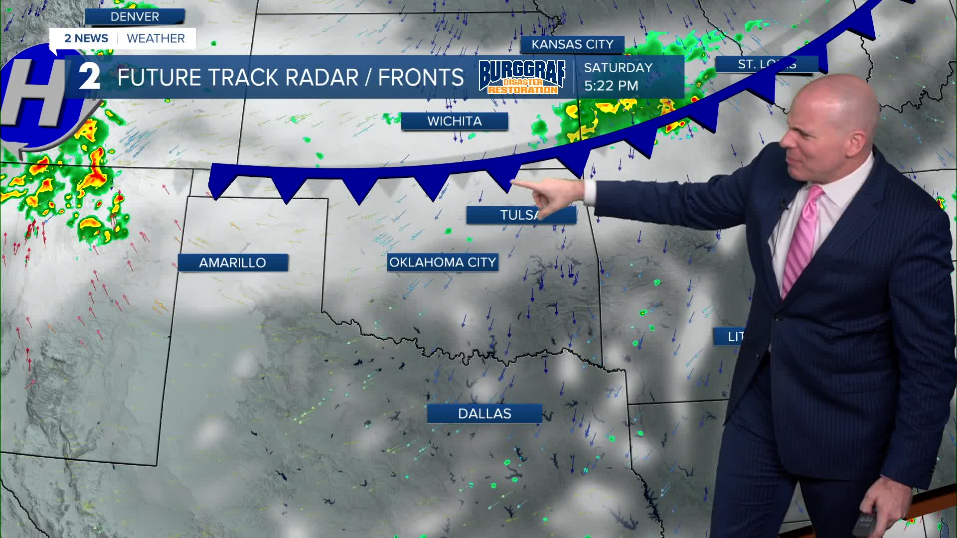
An approaching cold front from Kansas will produce a few isolated afternoon storms and evening on Saturday, mainly for areas along and north of I-44. Severe weather is not expected.
A long awaited cool down is still on track for next week! Temperatures will be highly dependent on the timing and placement of rain with current chances looking likely Monday into Tuesday with forecast highs in the 70s. We potentially could be cooler Monday if rain settles in early in the day.
We may get a break from the widespread rain Wednesday allowing temps to warm back above 80F; However, cooler temperatures look likely again Thursday into Friday as widespread rain and storm chances go back up. Expect some adjustments as we get closer.
Rain next week looks to be locally heavy with a potential flood threat. Severe weather does not look likely at this time.
Stay in touch with us anytime, anywhere --
- Download our free app for Apple, Android and Kindle devices.
- Sign up for daily newsletters emailed to you
- Like us on Facebook
- Follow us on Instagram
- Watch LIVE 24/7 on YouTube
