

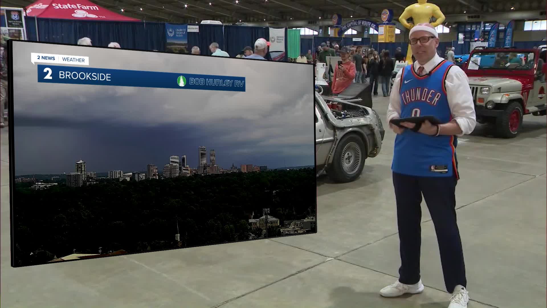


TULSA, OKLA — Scattered showers and isolated t-storms are possible through Thursday morning with some lingering downpours possible into Friday morning. Rain coverage will gradually decrease with time. Morning lows will be in the upper 60s.
A bit more sunshine and warmer temperatures are more likely into Friday with highs in the mid-80s. A round of t-storms cannot be ruled out again late in the day with a limited risk of severe wind gusts and hail.
Another round or two of rain and storms is possible over the weekend with warm, muggy conditions. A few storms may be severe Saturday evening. Morning lows will be around 70° and highs in the upper 80s to near 90°. The heat index will approach the mid-90 each afternoon.
Several more rounds of rain and thunder are possible next week with daily rain chances with us along with seasonably warm and humid conditions.
Stay in touch with us anytime, anywhere --
- Download our free app for Apple, Android and Kindle devices.
- Sign up for daily newsletters emailed to you
- Like us on Facebook
- Follow us on Instagram
- Watch LIVE 24/7 on YouTube
