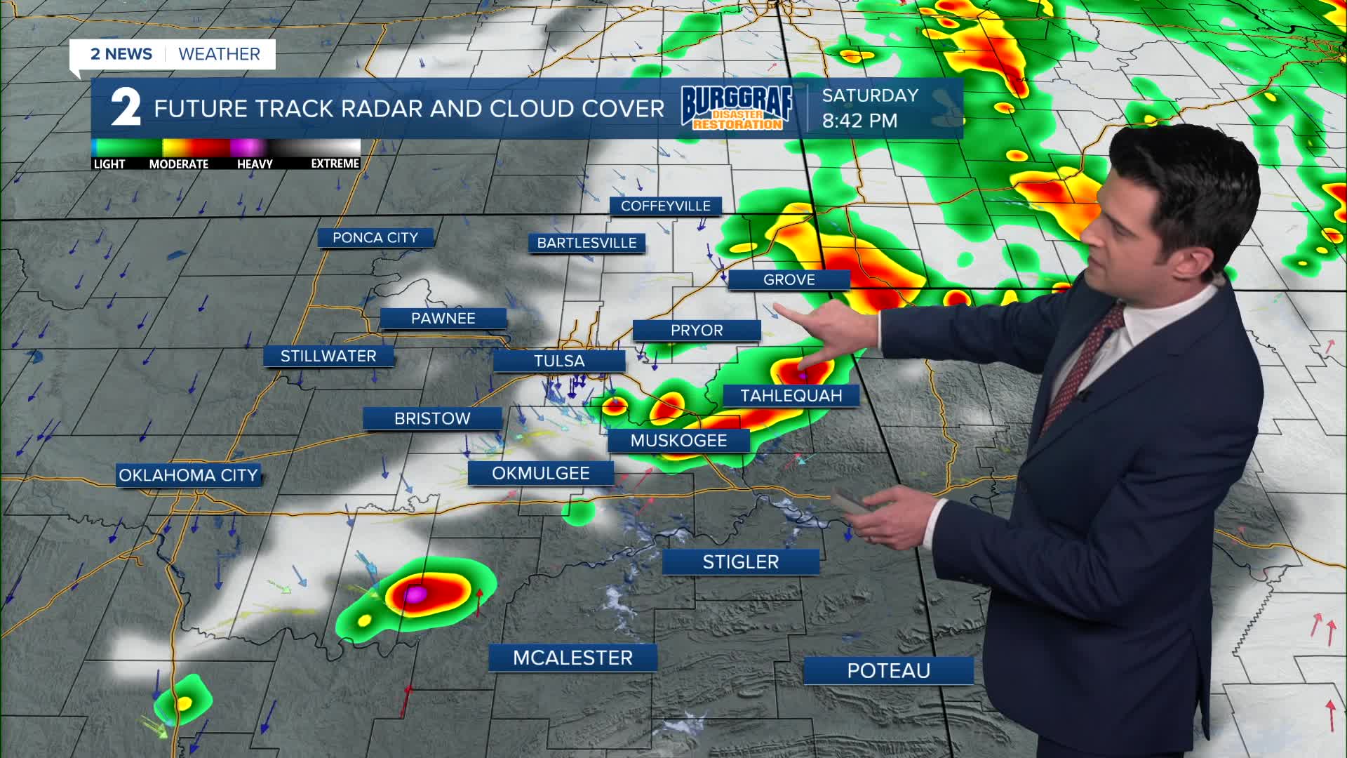
TULSA, OKLA. — We'll see clear skies overnight with breezy conditions behind a cold front. NW winds 15-25 mph with gusts up to 30 mph or just a bit higher. The low in Tulsa down to 47°, which we haven't seen since early May!
Sunny skies on Sunday and reaching 70°. NW winds 5-15 mph.
Sunshine and windy on Monday ahead of our next cold front. Lows in the low 50s with highs in the mid 80s. Gusts out of the south up to 40 mph, then turning around to the north as the front passes. It should pass through the area dry.
Behind the front on Tuesday, sunny skies with lows in the upper 40s and highs in the low 70s.
You guessed it, sunny again on Wednesday with lows in the mid 40s and highs in the mid 70s.
Mostly cloudy on Thursday with a chance of showers and t-storms. Morning lows in the low 50s and highs in the low 70s.
On Friday, mostly cloudy skies will continue with more showers and storms passing through Green Country. Morning lows in the 50s with highs in the upper 60s.
Behind another cold front on Saturday, mostly cloudy skies. Lows in the the lower 50s and highs in the 60s. This looks to be the coldest air mass of the fall season so far. Stay tuned!
Stay in touch with us anytime, anywhere --
- Download our free app for Apple, Android and Kindle devices.
- Sign up for daily newsletters emailed to you
- Like us on Facebook
- Follow us on Instagram
- Watch LIVE 24/7 on YouTube


