

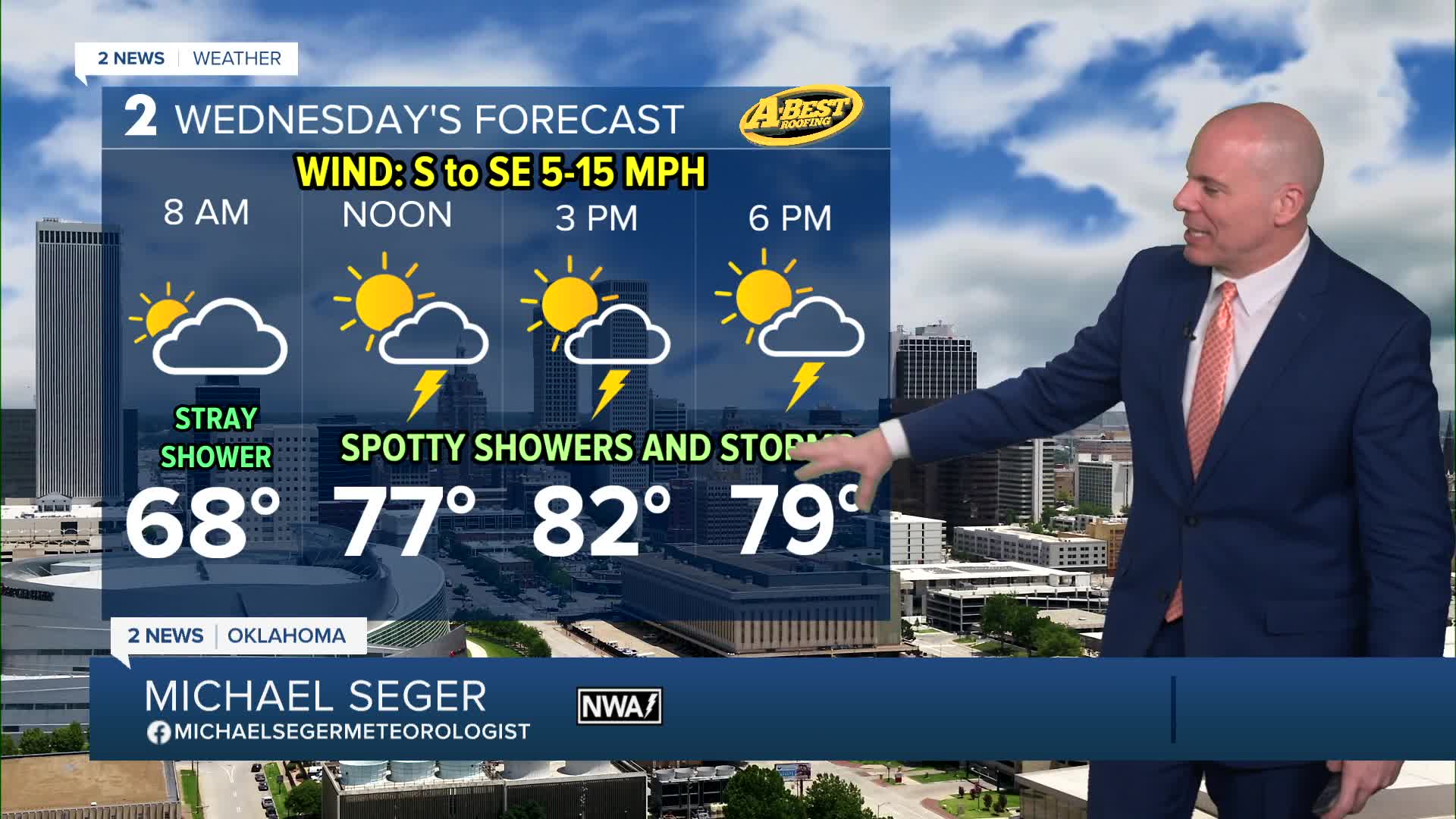


TULSA, OKLA — The unsettled weather patter continues for the rest of the week as a very slow-moving storm system moves into Oklahoma from the southwest. Moist air flowing into the area will help fuel scattered showers and thunderstorms Wednesday through Saturday. There will be pockets of locally heavy rain and localized flash flooding, but each day will also have areas that miss out on any heavy rain. Keep the umbrella with you through the end of the week.
Thankfully, the risk for severe storms remains low due to weak wind shear, although a few stronger storms could still produce gusty winds and some hail.
Morning lows in the mid-60s and afternoon highs in the upper 70s to lower 80s are expected through Saturday with a slight warm up for Sunday
The chance of showers and t-storms continues this weekend but will decrease next week.
Stay in touch with us anytime, anywhere --
- Download our free app for Apple, Android and Kindle devices.
- Sign up for daily newsletters emailed to you
- Like us on Facebook
- Follow us on Instagram
- Watch LIVE 24/7 on YouTube
