

TULSA, Okla. — Today, it was the coldest August 25th ever on record for the Tulsa area with a high of 72°. The old record was 73° from 1942.
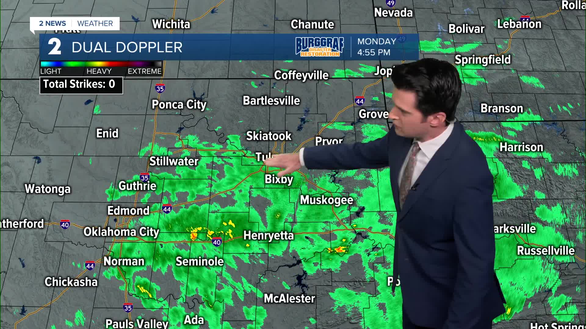
We'll see decreasing rain showers tonight, shifting off towards the south. Scattered showers and t-storms will probably stay going along and to the south of I-40. The low in Tulsa down to 61°. NE winds 5-10 mph.
Chance for rain showers Tuesday morning around Tulsa and off to the south. The high reaching 79° in Tulsa. East winds 5-15 mph.
Low 60s Wednesday morning, then highs in the mid 70s. More scattered showers moving through.
Pretty wet on Thursday with lows in the mid 60s and then highs in the mid 70s.
Showers wrap up early Friday morning with lows in the lower 60s and then highs in the upper 70s.
For the upcoming Labor Day holiday weekend, partly to mostly cloudy and fairly dry. Lows in the mid 60s and highs in the low 80s.
Stay in touch with us anytime, anywhere --
- Download our free app for Apple, Android and Kindle devices.
- Sign up for daily newsletters emailed to you
- Like us on Facebook
- Follow us on Instagram
- Watch LIVE 24/7 on YouTube
