

TULSA, OKLA — A few isolated showers may continue overnight into Wednesday morning before gradually moving out of the area. Rainfall totals are expected to be very light for most communities. Most of us will remain dry.
Expect some breaks in the clouds Wednesday afternoon with highs back in the low 70s and a moderate southerly breeze.
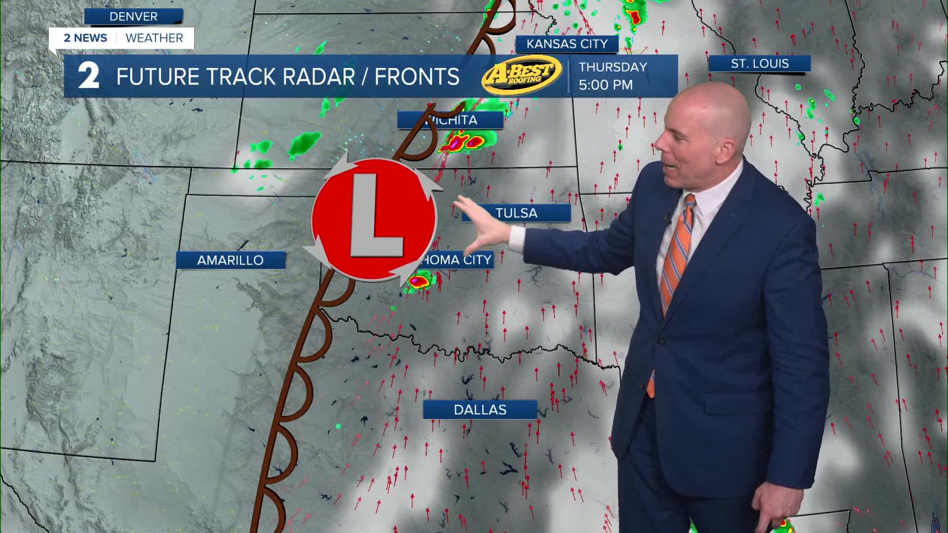
Forecast models continue to show a much more unsettled pattern developing Thursday and lasting through the weekend. Several rounds of showers and thunderstorms are expected as a stronger storm system moves into the Plains.
The first stronger storm chances may arrive Thursday night into Friday morning as a cold front approaches. Some of those storms could become severe, with damaging wind gusts currently appearing to be the main threat. Depending on how storms evolve, hail and isolated tornadoes may also be possible.
Looking ahead to the weekend, the front may stall near the region Friday, keeping additional rain and thunderstorm chances in the forecast. This setup could also lead to repeated rounds of rain, increasing the potential for locally heavy rainfall in some areas. Severe weather is also possible in this window of time with the threat looking highest on Sunday. We will monitoring and fine tuning the forecast as we get closer.
Temperatures will remain mild with highs generally in the 70s into early next week.
Please continue to monitor the forecast and check back in for updates through the week as details on timing and storm severity become clearer.
Stay in touch with us anytime, anywhere --
- Download our free app for Apple, Android and Kindle devices.
- Sign up for daily newsletters emailed to you
- Like us on Facebook
- Follow us on Instagram
- Watch LIVE 24/7 on YouTube
