



TULSA, OKLA. — Showers and thunderstorms will diminish in coverage overnight with still a lingering stray shower or two possible into Thursday morning. Morning lows should range from upper 60s to low 70s.
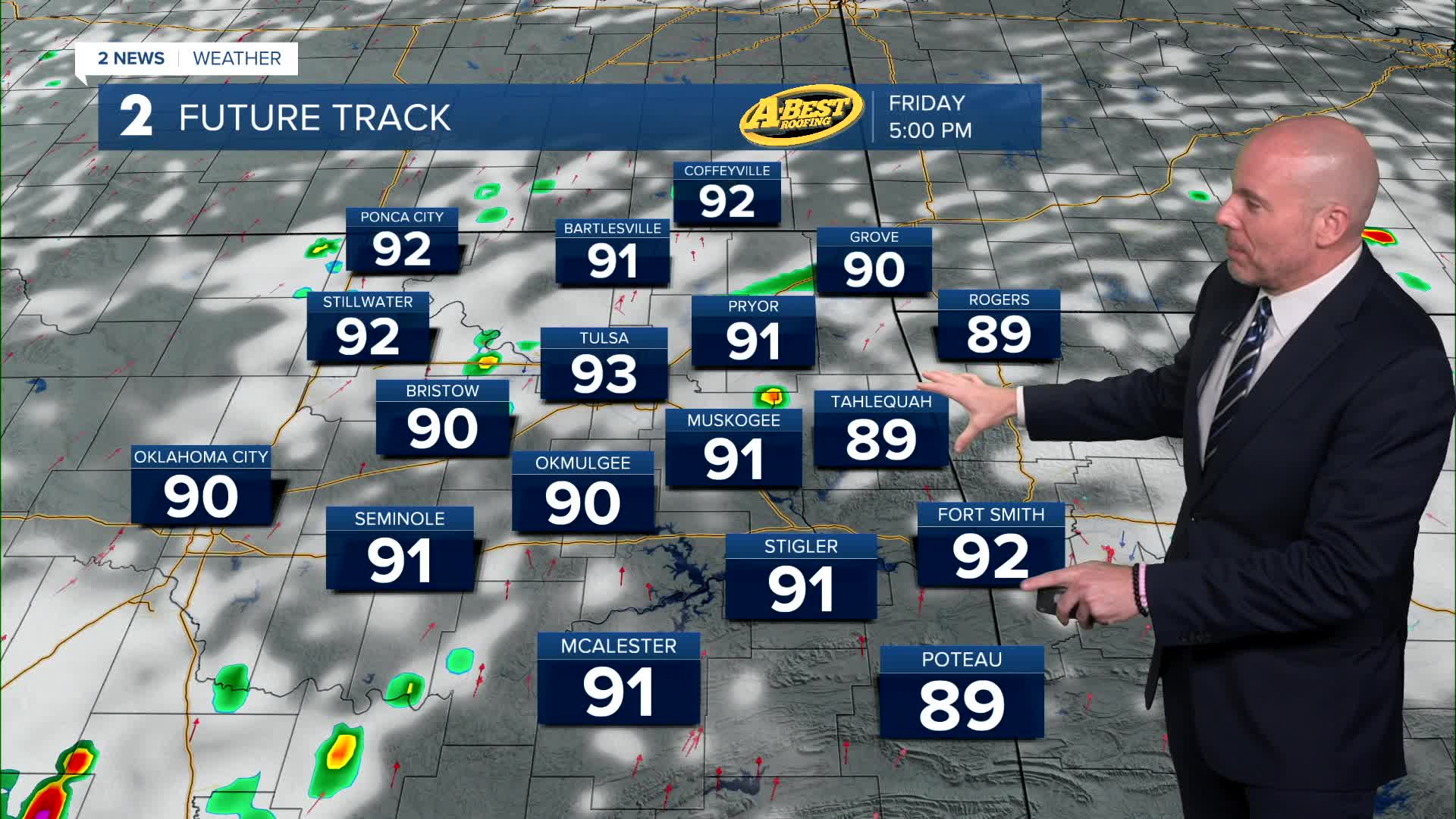
Slight chance for a few showers/t-storms on Thursday and Friday, but much less coverage compared to Wednesday. Highs to stay below average, which is 94° for this week. We are forecasting low 90s.
We are still thinking that temperatures will rise over the weekend and into early next week. Mid 90s on Saturday and mid/upper 90s Sunday. We could hit 100° for the first time this year in Tulsa by early next week on Monday. Our average first 100° date for Tulsa in July 10.
Stay in touch with us anytime, anywhere --
- Download our free app for Apple, Android and Kindle devices.
- Sign up for daily newsletters emailed to you
- Like us on Facebook
- Follow us on Instagram
- Watch LIVE 24/7 on YouTube
