

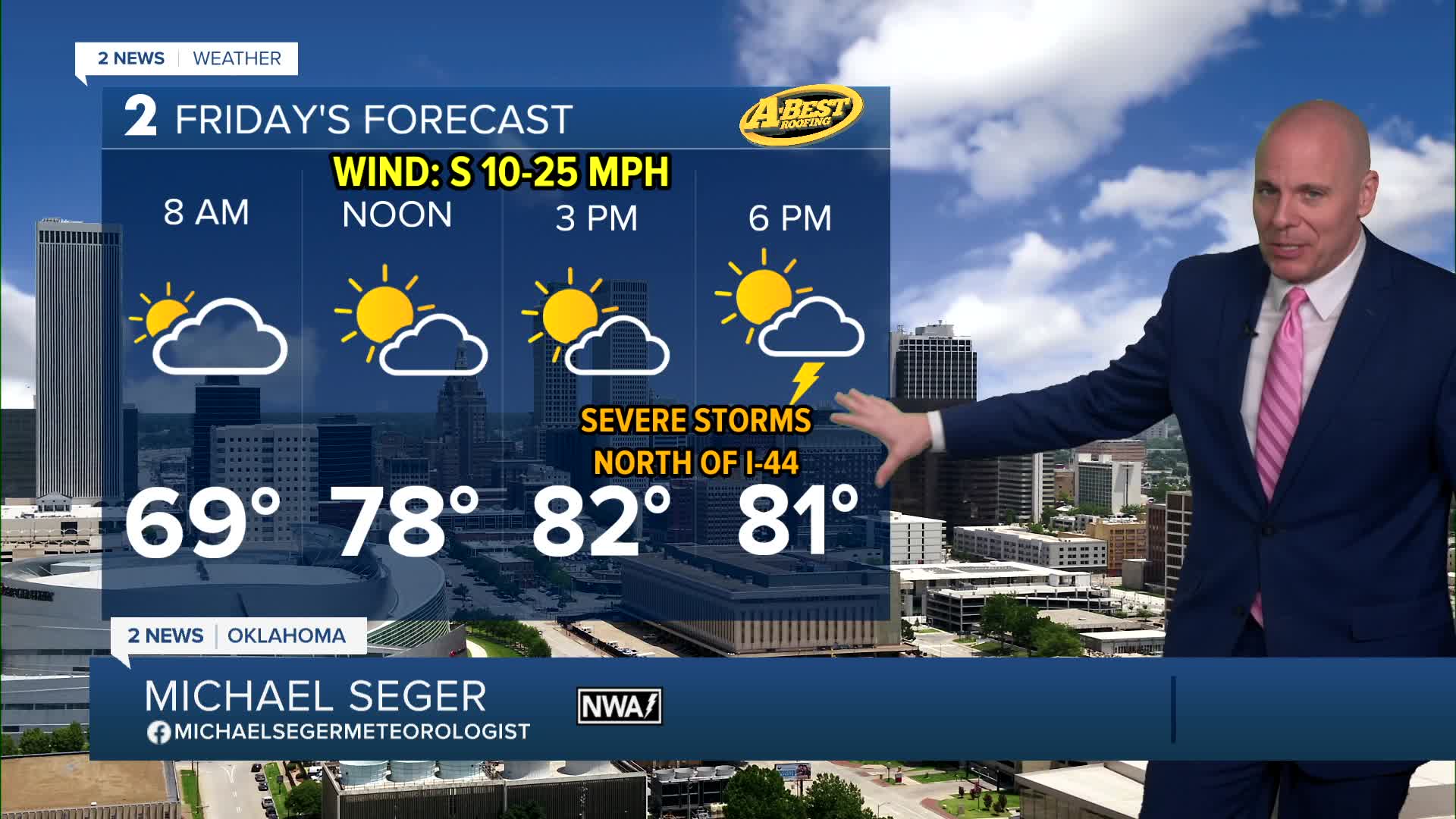


TULSA, Okla. — We'll remain mild and muggy overnight with lows by daybreak Friday in the mid/upper 60s.
Expect a mix of clouds and sun with highs in the low 80s with south winds 15-30 mph. A strong storm system moves in late Friday which brings showers and storms. The initial severe threat will be highest north of I-44 late afternoon into Friday evening. Some storms may be severe with large hail, damaging winds, and a few tornadoes possible. A cold front will push south lining out the storms Friday night. As this transition occurs, the damaging wind threat will likely become the main concern with a general weakening trend as the line and front push southeast through the early morning hours on Saturday.
Following the cold front, much cooler, drier air arrives for the weekend. Morning lows will drop into the 40s. Saturday will be brisk with highs in the low/mid 60s. Slightly warmer air returns Sunday with highs returning to the lower/mid 70s with a south breeze and lots of sunshine. A perfect day to be outside.
Much of next week looks dry, breezy at times and seasonably mild with highs in the 70s most days. Low rain and storm chances return late in the week.
Stay in touch with us anytime, anywhere --
- Download our free app for Apple, Android and Kindle devices.
- Sign up for daily newsletters emailed to you
- Like us on Facebook
- Follow us on Instagram
- Watch LIVE 24/7 on YouTube
