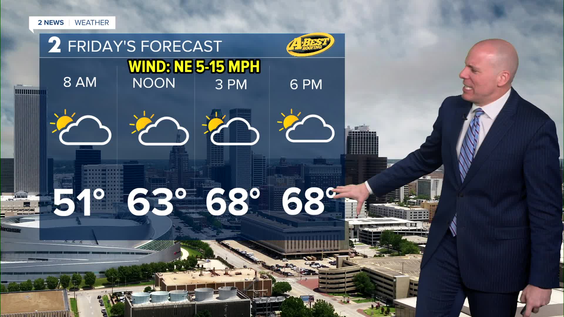


TULSA, Okla. — Mostly to partly cloudy skies to start May with lows in the upper 40s and highs in the upper 60s. Overall a pleasant day as the highest rain chance likely stays south of us toward the Red River Valley and into Texas.
Other than a slight chance of a shower early Saturday, this weekend will be mostly sunny and gorgeous for outdoor plans. A chilly start in the 40s is expected Saturday with afternoon highs near 70° and light north winds. Sunday looks warmer with lows in the upper 40s and highs near 80° with a gusty southerly wind taking hold.
A warming trend continues into early next week leading to a chance of showers and t-storms. That next storm system is expected to show up between Monday night and Wednesday. We'll keep you posted with the latest data and if we could see severe weather with this system. Current trend don't look overly concerning, but it is May so it'll be worth watching.
Have a great start to May!
Stay in touch with us anytime, anywhere --
- Download our free app for Apple, Android and Kindle devices.
- Sign up for daily newsletters emailed to you
- Like us on Facebook
- Follow us on Instagram
- Watch LIVE 24/7 on YouTube
